What is recorded here
Fairy fort / earthen ringfort in Carrigaline Middle stands in pasture on a south-facing slope, a perfect thirty-two and a half metre circle marked by a low earthen bank and faint outer ditch. People may have lived there before records began, tending animals or watching the valley, yet the shape still fits human hands and breath. The fairies inherit what humans abandon, which is why the fort keeps its name and waits for visitors bold enough to enter.
In pasture, on S-facing slope. Circular area (32.5m N-S; 32.5m E-W) defined by earthen bank (H 1.2m) N->ESE; low rise elsewhere. External fosse visible as slight depression. Possible entrance to S.
See Excavations 2002, 62-3.
The above description is derived from the published 'Archaeological Inventory of County Cork. Volume 2: East and South Cork' (Dublin: Stationery Office, 1994). In certain instances the entries have been revised and updated in the light of recent research.
Date of upload/revision: 14 January 2009
The monument record does not grant public access. Check the route and ask the landowner before entering private land.
- What survives
- Recorded monument
Places near here
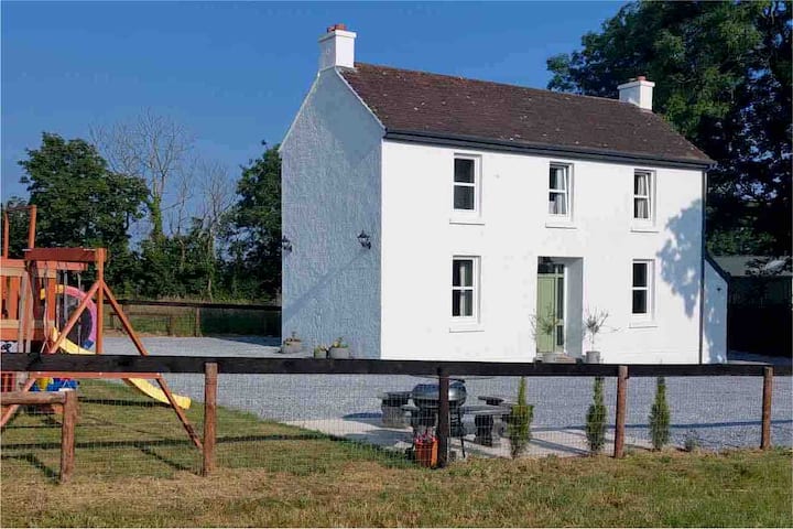 Enclosure in Carrigaline MiddleEnclosure · 120 yd
 Pit-burial in Carrigaline MiddlePit-burial · 143 yd
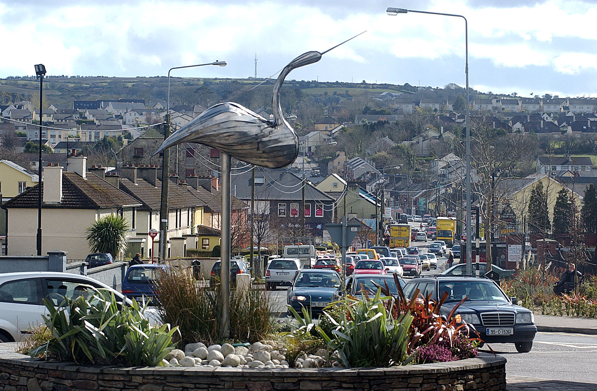 IndicatedKiln, lime · 386 yd
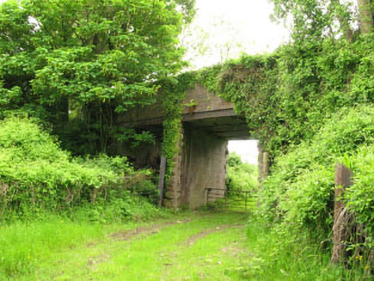 Ballyhemiken Bridgebridge · 492 yd
 Cogan's CastleCastle · 1574 yd
 Ballea CastleCastle, tower house · 1.6 mi
 Pauper's GraveyardArchaeological place · 2.1 mi
 Be Framed Fine Art GalleryGallery · 4.2 mi
 Goat IslandIslet · 4.3 mi
 Graveyard in CurraghconwayGraveyard · 4.3 mi
 Vernon Mount ViewViewpoint · 4.7 mi
 City View SummitViewpoint · 4.8 mi