What is recorded here
In pasture, utilising a steep-sided rocky knoll rising from the SE end of a ridge. A flat oval area (26.4m NE-SW; 17.5m NW-SE) encompassing the top of the knoll is defined by a high steep scarp (H 2.6m) broken by exposed limestone bedrock at SE and SW. The scarp drops to a gently sloping terrace or berm (Wth 4-6m) from which the natural knoll slope falls steeply for several metres (H c. 6m), giving the rath a two-tiered profile. There is an entrance (Wth 2m) at NNE. A low stony bank (Wth c. 2m) tops the scarp on either side of the entrance. In the interior, 5m SW of the entrance, a few large stones protrude from the sod, though their function could not be determined. At NE is an irregular-shaped hollow (8m N-S; 6m E-W; D 0.5m), probably the result of recent disturbance. There is a possible Man-made underground passage (SL026-140001-) in the SE quadrant. A cashel (SL026-139----) lies c. 200m to NNW on the same ridge. Immediately to S the rath is overlooked by a higher ridge crowned by 'The Cashel' hilltop enclosure (SL026-141----), c. 190m to NNW.
The above description is derived from the published 'Archaeological Inventory of County Sligo' compiled by Ursula Egan, Elizabeth Byrne, Mary Sleeman with Sheila Ronan and Connie Murphy (Dublin Stationery Office, 2005).
Date of upload: 18 January 2008
A fairy fort / earthen ringfort in Carrickbanagher is a likely early-medieval defensive or domestic site, characterised by a scarped enclosure on a rocky knoll. Local tradition associates such sites with fairy folklore, reflecting their enigmatic and otherworldly reputation in Irish tradition.
The monument record does not grant public access. Check the route and ask the landowner before entering private land.
- What survives
- Recorded monument
Places near here
 Man-made underground passage in CarrickbanagherMan-made underground passage · 14 yd
 IndicatedHilltop enclosure · 269 yd
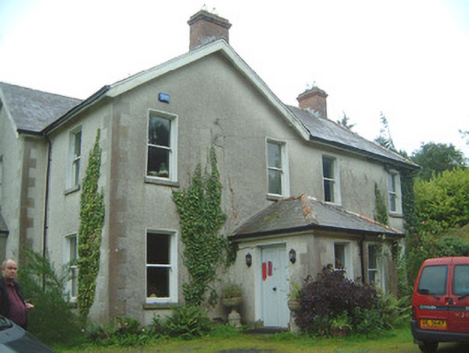 Heathfield Househouse · 1.2 mi
 KilnKiln, lime · 1.6 mi
 Castle (Site of)Castle, unclassified · 1.8 mi
 James MorrisonMemorial · 2.0 mi
 Behy Castle (in Ruins)Castle, tower house · 2.9 mi
 ElderElder · 4.0 mi
 Riverstown Folk ParkHeritage attraction · 4.1 mi
 European ashEuropean ash · 4.1 mi
 Giants GraveArchaeological place · 5.1 mi
 School CaveCave · 5.5 mi