What is recorded here
You can walk through a gap in the south-east bank, but the rest of the circle still stands guard. That is the shape of the Carrickallen fort: a raised round area twenty-two point six metres across, enclosed by a low earthen bank and a shallow ditch that survives mainly from south-southwest to north-east. The facts do not say who first entered it, yet the preserved gap makes the invitation plain.
Raised circular area (int. diam. 22.6m) enclosed by a low earthen bank and a fosse identifiable only from SSW-N-E. Break in bank at SE may represent original entrance.
The above description is derived from the published 'Archaeological Inventory of County Cavan' (Dublin: Stationery Office, 1995). In certain instances the entries have been revised and updated in the light of recent research.
Date of upload/revision: 22 December 2008
The monument record does not grant public access. Check the route and ask the landowner before entering private land.
- What survives
- Recorded monument
Places near here
 CarrickallenMountain / peak · 1061 yd
 Carrickallen ForestForest · 1.1 mi
 Tullyunshin South ForestForest · 1.3 mi
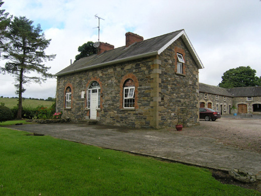 Beehivehouse, stables · 1.5 mi
 Holy WellHoly well · 1.8 mi
 CarrickacromanMountain / peak · 1.8 mi
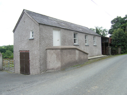 schoolschool · 2.1 mi
 Giants GraveArchaeological place · 3.4 mi
 Fairy fort / stone ringfort in KillymeehanFairy fort / stone ringfort · 3.5 mi
 Foundation Stone Blessed by Pope John Paul II 1979Memorial · 3.8 mi
 Site of Old CastleCastle, unclassified · 4.9 mi
 Raven's RockNamed rock · 5.2 mi