What is recorded here
Fairy fort in Caherdowney, County Cork, Ireland: a circular earthwork in pasture, not a building. Its ring measures about 32m by 30m, shaped to the slope, with an earthen bank still rising 3.3m outside. Conifers grow inside the old boundary, and the surrounding field fences have been levelled. The place belongs to the land's memory: a small fort, hidden in green, waiting to be walked.
In pasture, on SE-facing slope. Circular area (32m E-W; 30m N-S) raised on SE side to compensate for hillslope and cut into hill on NW side. Interior defined by earthen bank (max. int. H 1m; max. ext. H 3.3m) NE->SW; low internal scarp elsewhere. Bank and interior planted with coniferous trees. Surrounding field fences levelled.
The above description is derived from the published 'Archaeological Inventory of County Cork. Volume 3: Mid Cork' (Dublin: Stationery Office, 1997). In certain instances the entries have been revised and updated in the light of recent research.
Date of upload/revision: 14 January 2009
The monument record does not grant public access. Check the route and ask the landowner before entering private land.
- What survives
- Recorded monument
Places near here
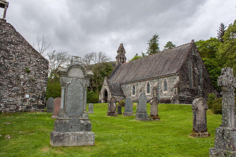 Boulder-burial in CaherdowneyBoulder-burial · 107 yd
 CairnCairn, unclassified · 1476 yd
 Church in Glantane EastChurch · 1.4 mi
 Kilmeedy CastleCastle, tower house · 2.1 mi
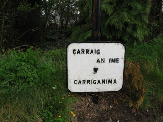 sign postsign post · 2.3 mi
 Mullaghanish Far North-East TopMountain / peak · 2.3 mi
 RowanRowan · 2.8 mi
 Birds of DuhallowVisitor information · 2.9 mi
 Wildlife of the UplandsVisitor information · 3.0 mi
 CurracahillMountain / peak · 3.0 mi
 Standing Stone ? At J WellMemorial · 3.3 mi
 Paddy Mulcahey 2009Memorial · 3.4 mi