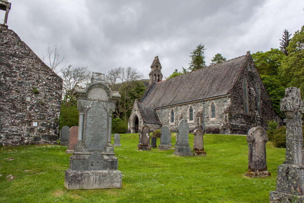
What is recorded here
In pasture, on a slight SE-facing slope. This possible boulder-burial is located in a field boundary where a lot of field clearance material, including large stones, has been dumped. A large cover-stone (1.95m E-W; 1.9m N-S; T 1.55m) rests on two support-stones at NNE and NNW and a third earthfast stone, possibly outcropping rock, to the S. Two upright stones (0.5m x 0.2m; H 0.45m and 0.6m x 0.3m; H 0.5m, respectively), apparently deliberately set, are located immediately ENE and NW of the cover-stone. There is a rath (8116, vol. 3) 80m to the ENE.
The above description is derived from 'The Archaeological Inventory of County Cork. Volume 5' (Dublin: Stationery Office, 2009).
Date of upload: 22 December 2009
Boulder-burial in Caherdowney is a possible megalithic tomb, potentially dating to the Neolithic or early Bronze Age. Its significance lies in its association with early funerary practices and the megalithic tradition of the region, though its exact type and date remain uncertain due to disturbance and lack of detailed excavation.
The monument record does not grant public access. Check the route and ask the landowner before entering private land.
- What survives
- Recorded monument
Places near here
 CairnCairn, unclassified · 1417 yd
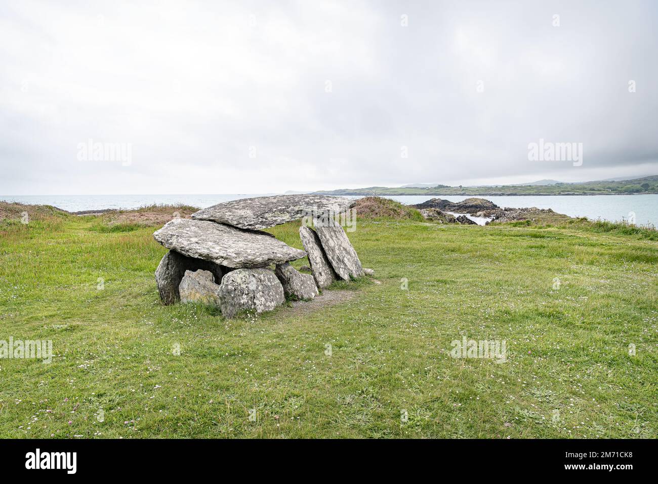 Wedge tomb in CaherdowneyWedge tomb · 1427 yd
 Church in Glantane EastChurch · 1.4 mi
 Kilmeedy CastleCastle, tower house · 2.1 mi
 Mullaghanish Far North-East TopMountain / peak · 2.2 mi
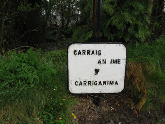 sign postsign post · 2.3 mi
 RowanRowan · 2.8 mi
 Birds of DuhallowVisitor information · 2.9 mi
 CurracahillMountain / peak · 3.0 mi
 Wildlife of the UplandsVisitor information · 3.0 mi
 Standing Stone ? At J WellMemorial · 3.3 mi
 Paddy Mulcahey 2009Memorial · 3.5 mi
Other information
Photo: Credit not shown in the picture search · Rights wording not checked; contact us if this picture should be removed