What is recorded here
Eroded earth and scattered stones still mark a circular home in Caherclogh, though the boundary now competes with pasture and growing trees. The gentle dip at the centre suggests people once lived inside that ring, perhaps shielding themselves from rain or neighbours before the land changed hands and memory faded. What looks like a forgotten heap may have been a defended doorway, a kitchen, or a bedroom, depending on which generation you ask.
In pasture, on gentle S-facing slope. Circular area (24.8m N-S) enclosed by eroded earthen bank (int. H 0.2m; ext. H 0.2m), which is truncated at N by E-W field boundary. Interior dips down gently towards centre and is overgrown by briars and deciduous trees. A noticeable scattering of stones around base of bank suggest it may have been stone faced.
Compiled by: Denis Power
Date of upload: 26 August 2011
The monument record does not grant public access. Check the route and ask the landowner before entering private land.
- What survives
- Recorded monument
Places near here
 Church (in ruins)Church · 671 yd
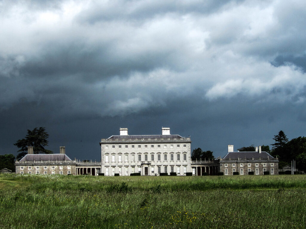
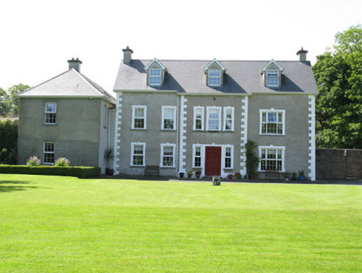 Castletown Conyerscountry house · 795 yd
 IndicatedCastle, motte · 839 yd
 Castle (in ruins)Castle, hall-house · 920 yd
 Enclosure in Castletown (connello Upper By.)Enclosure · 943 yd
 Our Lady's WellSpring · 959 yd
 Saint Derivla's WellSpring · 1.8 mi
 Famine stoneMemorial · 3.5 mi
 KnockfeerinaMountain / peak · 3.5 mi
 National Co-op MuseumMuseum · 6.8 mi
 Mullaghareirk - Banane LoopWalking route · 12 mi