What is recorded here
No visible monument remains at the stated coordinates. The coordinates point to open water, not a known cabra ringfort. There is no fact that the coordinates and name describe the same place. They may be two different places, or one of them may be wrong. That is all the location data supplied, so that is all the answer can claim.
Raised circular area (int. diam. c. 34m) enclosed by two substantial earthen banks with intermediate wide fosse. A modern drain which runs outside the outer bank from E-SE-S may have replaced an earlier fosse. Intermediate fosse has been infilled and is now utilised as a laneway. Break in inner bank at SE may represent original entrance. The ruins of a small circular building (int. diam. c. 2m), enclosed by a stone wall (max. H c. 2m), with a collapsed doorway at S, lies at the centre of the interior. This was probably a late-18th or early 19th-century folly.
The above description is derived from the published 'Archaeological Inventory of County Cavan' (Dublin: Stationery Office, 1995). In certain instances the entries have been revised and updated in the light of recent research.
Date of upload/revision: 22 December 2008
The monument record does not grant public access. Check the route and ask the landowner before entering private land.
- What survives
- Recorded monument
Places near here
 CabraMountain / peak · 5 yd
 Dún a Rí Forest ParkForest · 302 yd
 In Memory of Our DadMemorial · 525 yd
 Ice HouseArchaeological place · 568 yd
 Castle ruinsCastle, unclassified · 606 yd
 Natural Play AreaMemorial · 617 yd
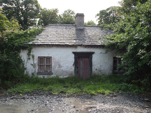 gate lodgegate lodge · 670 yd
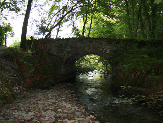 Sarah Bridgebridge · 728 yd
 Horse-chestnutHorse-chestnut · 827 yd
 BarleyhillMountain / peak · 1.4 mi
 ToberarneyHoly well · 1.5 mi
 Castle in ruinsCastle, unclassified · 2.8 mi