What is recorded here
Situated on a W-facing slope of rising ground in an upland area with a nearby church site (TN028-020) to the W and a ringwork (TN022-058) to the N. A circular area (diam. 25m E-W) enclosed by two well-preserved earth and stone banks with intervening fosse (Wth 3m; D 0.4m) and causewayed entrance gap (Wth 3.5m) at W. The inner bank (Wth 2m; H 0.5m) is not as well-preserved as the outer bank (Wth 1.5m; H 1m).
The above description is derived from 'The Archaeological Inventory of County Tipperary. Vol. 1 - North Tipperary' compiled by Jean Farrelly and Caimin O'Brien (Dublin: Stationery Office, 2002). In certain instances the entries have been revised and updated in the light of recent research.
Date of upload/revision: 22 September 2008
A fairy fort / earthen ringfort in Borrisnafarney is a circular early-medieval defensive or domestic site, likely dating to between the 5th and 10th centuries AD, characterized by a double earthen bank and ditch. Local tradition associates such sites with the supernatural, often referring to them as dwellings of the "good people" or fairies.
The monument record does not grant public access. Check the route and ask the landowner before entering private land.
- What survives
- Recorded monument
Places near here
 BatteryCastle, ringwork · 105 yd
 Kilduff MountainMountain / peak · 1503 yd
 Devil's Bit MountainMountain / peak · 1618 yd
 Enclosure in KilduffEnclosure · 1.1 mi
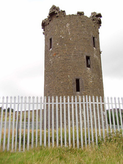 Barnane Housefolly · 1.3 mi
 dam/reservoir/basindam/reservoir/basin · 1.8 mi
 Cliff-edge fort in CloncannonCliff-edge fort · 1.8 mi
 The MoatCastle, motte · 1.9 mi
 Kyleroe WoodWood · 4.0 mi
 Longford WoodForest · 4.1 mi
 Thomas MacDonagh Heritage CentreMuseum · 9.0 mi
 MacDonagh HouseMemorial · 9.0 mi