What is recorded here
In area of outcropping limestone, completely covered by scrub and thorn bushes. Monument, depicted as roughly circular embanked enclosure (diam. c. 30m) on 1923 OS 6-inch map, is now completely covered by dense overgrowth.
Compiled by: Denis Power
Date of upload: 26 August 2011
The monument record does not grant public access. Check the route and ask the landowner before entering private land.
- What survives
- Recorded monument
Places near here
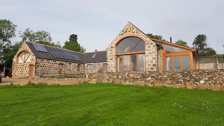 Enclosure in Milltown NorthEnclosure · 743 yd
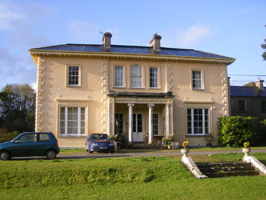 Nantinan Housecountry house · 778 yd
 Man-made underground passage in Milltown NorthMan-made underground passage · 863 yd
 Milltown Castle (in ruins)Castle, tower house · 868 yd
 Mill (in ruins)Mill, unclassified · 913 yd
 Lismakeery Castle (in ruins)Castle, tower house · 1.4 mi
 Askeaton CastleHeritage attraction · 2.3 mi
 TobernablahySpring · 3.5 mi
 Flat cemetery in CroaghFlat cemetery · 3.6 mi
 Holly IslandIslet · 3.9 mi
 Little HeavenHeritage attraction · 4.0 mi
 St. Kieran's WellSpring · 4.2 mi