What is recorded here
Situated on a S-facing slope of rising ground in a mountainous region. A poorly preserved site, the W half of which has been destroyed by quarrying. The E half survives (diam. 28m N-S) enclosed by an earth and stone bank (Wth 2m; H 0.5m) with no evidence of an external fosse or entrance feature.
The above description is derived from 'The Archaeological Inventory of County Tipperary. Vol. 1 - North Tipperary' compiled by Jean Farrelly and Caimin O'Brien (Dublin: Stationery Office, 2002). In certain instances the entries have been revised and updated in the light of recent research.
Date of upload/revision: 22 September 2008
This remains an important historical record, but the official description says the monument is no longer visible or has been destroyed. The monument record does not grant public access. Check the route and ask the landowner before entering private land.
- What survives
- No visible remains or recorded as destroyed
Places near here
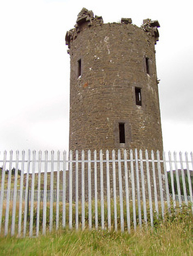 Barnane Housefolly · 576 yd
 Barnane Ho.Castle, tower house · 1398 yd
 Devil's Bit MountainMountain / peak · 1560 yd
 KilmacloonaghChurch · 1.1 mi
 Fairy HillArchaeological place · 1.2 mi
 Enclosure in KilduffEnclosure · 1.2 mi
 GortagarryMountain / peak · 1.6 mi
 BatteryCastle, ringwork · 1.7 mi
 Morris's GroveForest · 2.8 mi
 Kilvilcorris BogForest · 3.6 mi
 Thomas MacDonagh Heritage CentreMuseum · 11 mi
 MacDonagh HouseMemorial · 11 mi