What is recorded here
Fairy forts are not places where people died. They are places where people lived. This is one of them. A family or small group built the bank, dug the ditch, and entered through the eastern causeway. They may have kept fire inside, grown food nearby, and passed the site down through generations. The fairies came later in the story. They filled the gap left when the human names were lost.
Situated on a low N-S ridge in upland area. Circular area (diam 40m E-W) enclosed by an earth and stone bank (Wth 4m; ext. H varies 2.30m - 3.5m; int. H varies 1m - 2m) and external fosse (Wth 3m) which is totally destroyed at SE with a causewayed entrance (Wth 4m) at E. There is no surface evidence for an outer bank. The interior of the site slopes from W to E.
The above description is derived from the published 'Archaeological Inventory of County Offaly' (Dublin: Stationery Office, 1997). In certain instances the entries have been revised and updated in the light of recent research.
Date of upload: 23 May 2011
The monument record does not grant public access. Check the route and ask the landowner before entering private land.
- What survives
- Recorded monument
Places near here
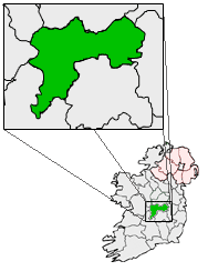 IndicatedFairy fort / earthen ringfort · 755 yd
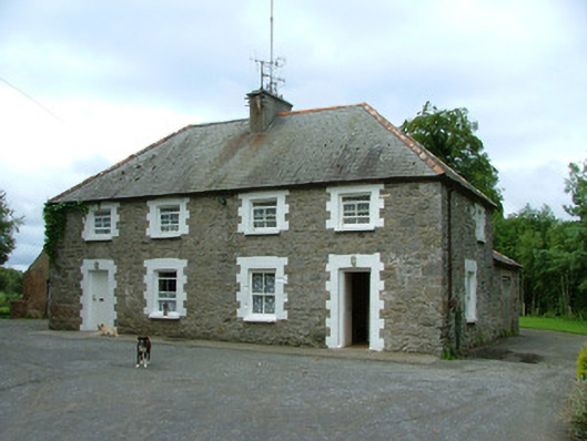 worker's houseworker's house · 871 yd
 Man-made underground passage in BoultryMan-made underground passage · 927 yd
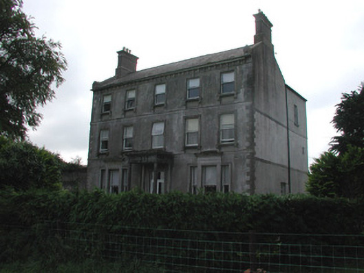 Rutland Housecountry house · 943 yd
 Site of CastleCastle, unclassified · 1291 yd
 Bawn in ShinroneBawn · 1.7 mi
 Warren WoodWood · 2.0 mi
 Coolock WoodForest · 2.0 mi
 Eagle HillMountain / peak · 3.4 mi
 Golden Grove HillMountain / peak · 4.2 mi
 Roscrea Petty Sessions HouseHeritage attraction · 5.0 mi
 Leap CastleCastle · 6.6 mi