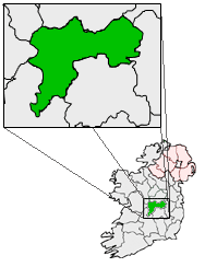
What is recorded here
Situated on top of an E-W esker ridge in undulating countryside. Circular area (diam 31m E-W) enclosed by an earth and stone bank (Wth 2m; int. H 0.3m; ext. H 0.2m) and outer fosse (Wth varies 2 - 3m; ext. D 0.2m) which is destroyed from E to S with no evidence of an external bank or entrance feature.
The above description is derived from the published 'Archaeological Inventory of County Offaly' (Dublin: Stationery Office, 1997). In certain instances the entries have been revised and updated in the light of recent research.
Date of upload: 23 May 2011
A local fairy fort (ringfort/rath); wider significance not recorded.
The monument record does not grant public access. Check the route and ask the landowner before entering private land.
- What survives
- Recorded monument
Places near here
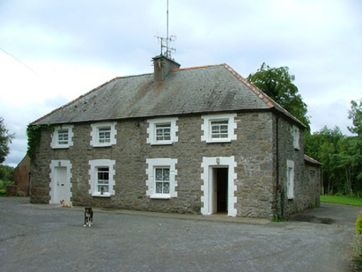 worker's houseworker's house · 373 yd
 Fulacht fia in AdruelFulacht fia · 526 yd
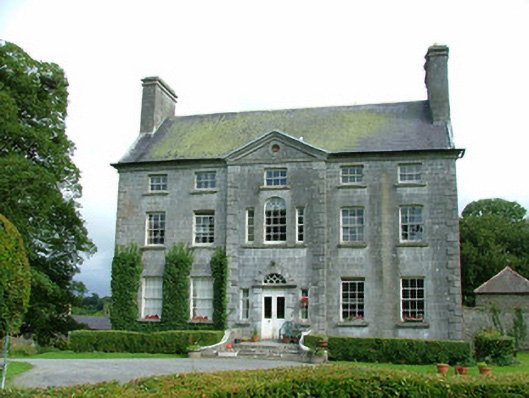 Milltown Parkcountry house · 851 yd
 Man-made underground passage in BoultryMan-made underground passage · 1488 yd
 Site of CastleCastle, unclassified · 1.2 mi
 Bawn in ShinroneBawn · 1.4 mi
 Warren WoodWood · 1.8 mi
 Coolock WoodForest · 1.9 mi
 Eagle HillMountain / peak · 3.1 mi
 Golden Grove HillMountain / peak · 4.0 mi
 Roscrea Petty Sessions HouseHeritage attraction · 4.9 mi
 Leap CastleCastle · 6.2 mi
Other information
Photo: Credit not shown in the picture search · Rights wording not checked; contact us if this picture should be removed