What is recorded here
Mountain shadows, river mist and hidden chambers transform a quiet room into a living myth. This is a place where imagination remembers what fact forgets.
In woodland area, on flat demesnes lands liable to flooding with E bank of the River Shannon 100m to W. On the 1840 ed. OS 6-inch map the earthwork is depicted standing at W edge of woodland plantation belonging to the demesne lands of Mount Shannon House located 1.5km to SSE. A pond has been constructed immediately to the E of the earthwork as part of the landscaping of the demesne.The site description is based on its cartographic representation on the 1897 ed. OS 25-inch map and recent OSi aerial photography. Remains consist of an oval-shaped area (approx. int. diam. c. 23m N-S; 17m E-W) enclosed by a bank standing in a woodland plantation covered with large trees.
See attached Google Earth orthoimages
Compiled by: Edmond O’Donovan
Date of upload: 9 July 2020
The monument record does not grant public access. Check the route and ask the landowner before entering private land.
- What survives
- Recorded monument
Places near here
 Burial in Prospect (clanwilliam By.)Burial · 544 yd
 Enclosure in SrawickeenEnclosure · 965 yd
 Castle Troy (in ruins)Castle, tower house · 1418 yd
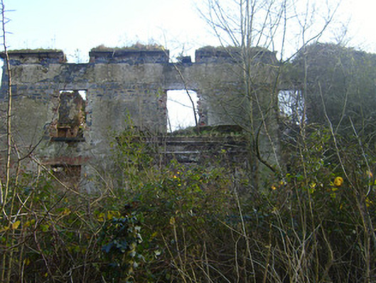 Prospect Househouse · 1555 yd
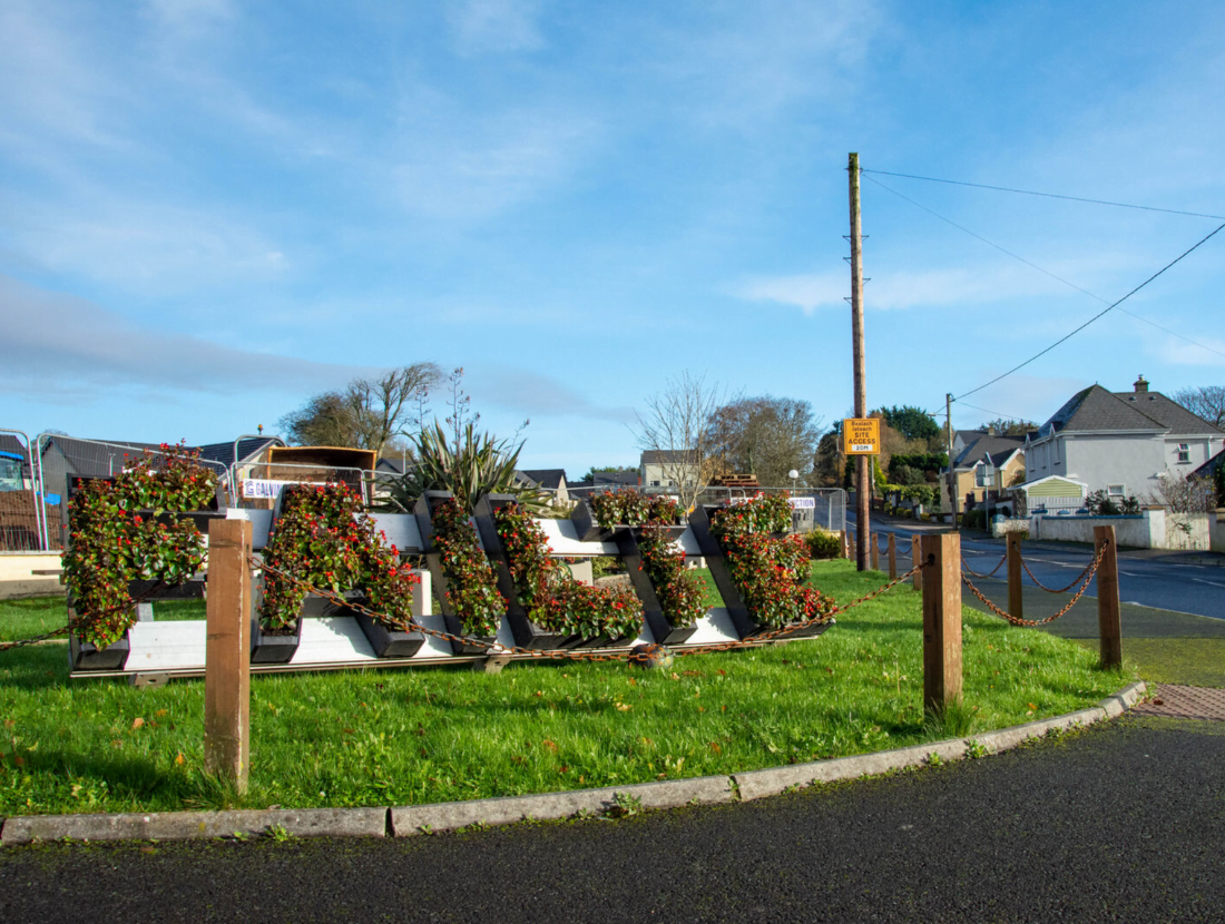 Templemochulla (in ruins)Church · 1652 yd
 Jackie PowerMemorial · 1.4 mi
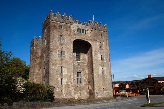 The Turret (in Ruins)Castle, unclassified · 1.4 mi
 Campus MapVisitor information · 1.6 mi
 Visitor CentreVisitor information · 1.6 mi
 Fountain SculptureHeritage attraction · 1.7 mi
 University of Limerick FlagpostsHeritage attraction · 1.9 mi
 Graveyard in AbingtonGraveyard · 6.3 mi