What is recorded here
Fairy forts are human places misnamed, often built or cut during the middle ages when people wanted defensible ground, visible boundary, or a home they could defend. Ballyvoghan is no different in kind, even if its small size and ridge-top position suggest something domestic rather than militaristic. The fairies enter later, when people stopped knowing the builders and looked for a story that matched the shape.
In pasture, on SE-facing slope immediately below top of ridge. Circular area (25.3m N-S; 25.5m E-W) enclosed by earthen bank (int. H 0.35m; ext. H 1.1m) SSW->ENE and defined by scarped edge (H 1.3m; Wth 3.4m) ENE->SSW, with external fosse (Wth 2.5m; D 0.65m) WSW->ENE. At ESE, scarp dips to H 0.55m for distance of 6m. Indistinct counterscarp bank (ext. H 0.35m) WSW->NNW. Interior, under pasture, slopes down to ESE. Field boundary abuts outer edge of fosse at N.
Compiled by: Denis Power
Date of upload: 26 August 2011
The monument record does not grant public access. Check the route and ask the landowner before entering private land.
- What survives
- Recorded monument
Places near here
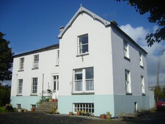 Rathronan Houserectory/glebe/vicarage/curate's house · 497 yd
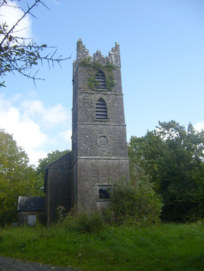 Rathronan Churchchurch/chapel · 668 yd
 Grave YardGraveyard · 674 yd
 IndicatedFairy fort / earthen ringfort · 732 yd
 CahermoyleCastle, unclassified · 1095 yd
 St. Luke's WellSpring · 1447 yd
 Castle (in ruins)Castle, tower house · 1.1 mi
 St. Kieran's WellSpring · 2.5 mi
 European ashEuropean ash · 4.8 mi
 Limerick GreenwayWalking route · 5.0 mi
 Sugar HillMountain / peak · 6.6 mi
 Monterey CypressMonterey Cypress · 7.5 mi