What is recorded here
Thirty-five metres of scarped earth still stand on the Ballyvoghan slope, though overgrowth has swallowed the northern wall and marsh has softened the western ditch. The fort faces north into open pasture but drops sharply northeast toward the river valley, forcing anyone inside to look upward rather than outward. A field drain now feeds the ancient fosse at the southeast, mixing modern water with whatever ran there before boundaries were drawn. The fairies may have taken the visible shape, but the ground kept its own memory of the circle.
In pasture, on gentle N-facing slope with steep drop to NE into river valley. Circular area (diam. c. 35m) defined by scarped edge (H 3m; Wth 6.1m) with external fosse (Wth 1.8m) and counterscarp bank (int. H 2.5m; ext. H 1m). Enclosing element obscured by overgrowth N->SE. Fosse evident all round but becomes very shallow and marshy W->N. Field drain enters fosse at SE. Interior covered by dense overgrowth, and slopes sharply down to ENE. Field boundaries abut enclosure at SE, NNW, N (partially removed) and NE.
Compiled by: Denis Power
Date of upload: 26 August 2011
The monument record does not grant public access. Check the route and ask the landowner before entering private land.
- What survives
- Recorded monument
Places near here
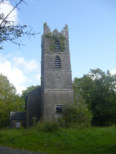 Rathronan Churchchurch/chapel · 187 yd
 Grave YardGraveyard · 207 yd
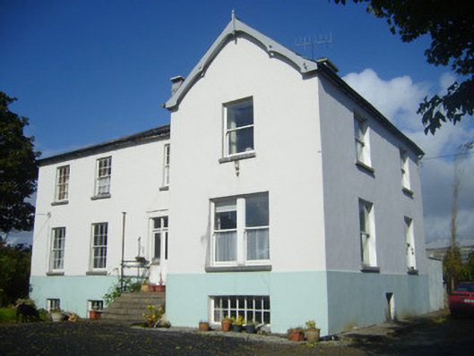 Rathronan Houserectory/glebe/vicarage/curate's house · 262 yd
 Enclosure in Ballylin (shanid By., Ardagh Ed)Enclosure · 607 yd
 CahermoyleCastle, unclassified · 1754 yd
 St. Luke's WellSpring · 1.2 mi
 Castle (in ruins)Castle, tower house · 1.4 mi
 St. Kieran's WellSpring · 2.9 mi
 Limerick GreenwayWalking route · 4.6 mi
 European ashEuropean ash · 5.2 mi
 Sugar HillMountain / peak · 6.2 mi
 Monterey CypressMonterey Cypress · 7.5 mi