What is recorded here
Fairy forts in Ballyvaloon, Barretts By., were human ringforts, not fairy homes, and the earthen bank still stands where the fence line bends. The fort measured about thirty metres across on old maps, but fence clearance in 1988 levelled most of the circle. A two-metre arc from south-west to north-west remains inside the field fence, with faint rises to the north and south marking the lost bank. The name is a story people told later; the shape is what the land still remembers.
In tillage, on SSW-facing slope. Depicted as hachured circular enclosure (diam. c. 30m) on 1842, 1904 and 1938 OS 6-inch maps. According to local information, levelled during field fence clearance c. 1988. Arc formed by earthen bank (int. H 2m) survives SW->NW; incorporated into field fence system. Slight rise to N and S appears to mark line of levelled bank. Greater concentration of stones visible in field to E of arc.
The above description is derived from the published 'Archaeological Inventory of County Cork. Volume 3: Mid Cork' (Dublin: Stationery Office, 1997). In certain instances the entries have been revised and updated in the light of recent research.
Date of upload/revision: 14 January 2009
A fairy fort or earthen ringfort in Ballyvaloon, likely dating to the early medieval period, is represented on historical Ordnance Survey maps as a circular enclosure, later levelled during field clearance. Local tradition associates such sites with fairy folklore, reflecting their perceived otherworldly significance in Irish cultural memory.
The monument record does not grant public access. Check the route and ask the landowner before entering private land.
- What survives
- Recorded monument
Places near here
 Enclosure in Ballyvaloon (barretts By.)Enclosure · 1026 yd
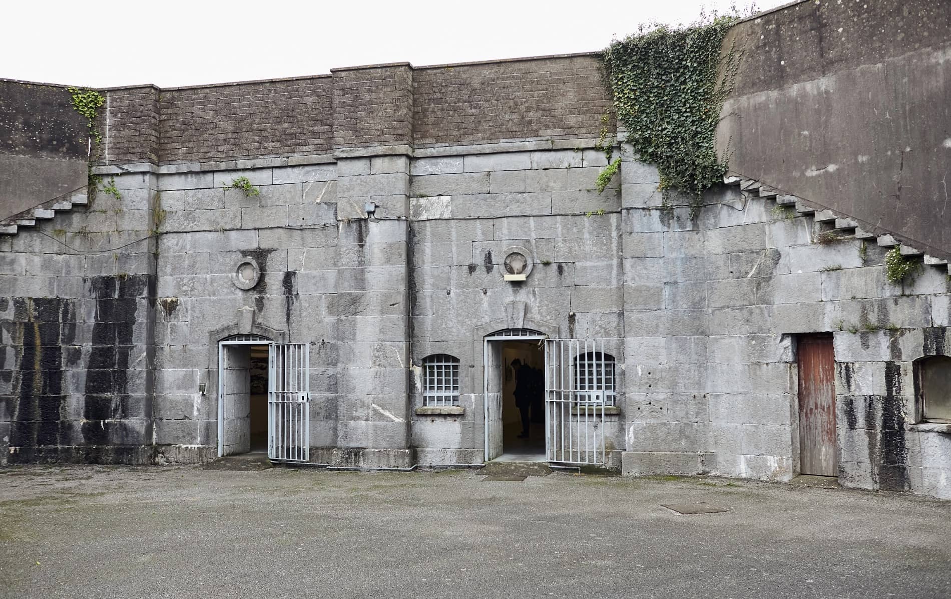 Enclosure in BallymorisheenEnclosure · 1135 yd
 water pumpwater pump · 1693 yd
 St Laghteen's Roman Catholic Churchchurch/chapel · 1700 yd
 Pairc Ath Na hEornaMemorial · 1.1 mi
 Castle (Site of)Castle, unclassified · 1.3 mi
 Graveyard in KilmonaGraveyard · 1.9 mi
 Garrycloyne Castle (in Ruins)Castle, tower house · 2.0 mi
 Lyradane MountainMountain / peak · 2.8 mi
 Rock HillMountain / peak · 2.9 mi
 BatsVisitor information · 3.8 mi
 Waterloo Loop WalkWalking route · 4.0 mi