What is recorded here
Situated on a gentle NW-facing slope. D-shaped area (dims. 25.5m NW-SE; 23m NE-SW) defined by an earth and stone bank (Wth 1.9-2.5m; int. H 0.6-1m; ext. H 1-1.4m) with a discontinuous revetment of boulders. There are two gaps in the bank; that at the NNE (Wth 1.5m) may be the entrance while the other, at the SW, is probably a modern feature. No visible indication of a fosse or internal features other than some large earthfast boulders.
The above description is derived from the published 'Archaeological Inventory of County Wicklow' (Dublin: Stationery Office, 1997). In certain instances the entries have been revised and updated in the light of recent research.
Date of upload/revision: 17 December 2008
The monument record does not grant public access. Check the route and ask the landowner before entering private land.
- What survives
- Recorded monument
Places near here
 Enclosure in Ballyknockan (talbotstown Lower By.)Enclosure · 600 yd
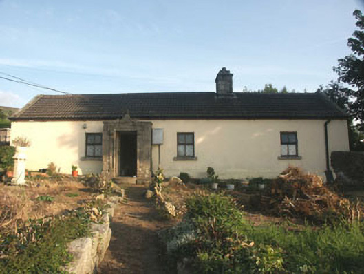 Saint Anthony'shouse · 1173 yd
 Land Grabber MemorialRuins · 1226 yd
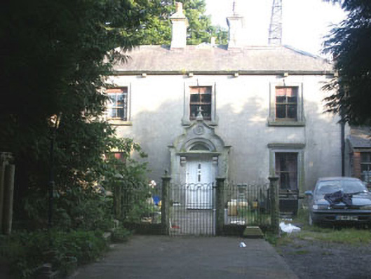 Granite Househouse · 1238 yd
 Cross in Ballyknockan (talbotstown Lower By.)Cross · 1577 yd
 MoanbaneMountain / peak · 1.4 mi
 SilseanMountain / peak · 1.6 mi
 Lacken – Mass Path LoopWalking route · 2.2 mi
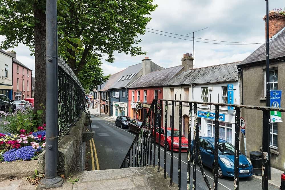 CastleCastle, unclassified · 2.5 mi
 Castle (in ruins)Castle, tower house · 3.6 mi
 Artisans WorkshopsHeritage attraction · 4.0 mi
 National Bird of Prey CentreHeritage attraction · 4.0 mi