What is recorded here
Situated on a slight rise in fairly well drained grass-land with good views of the surrounding countryside. Stream marking townland boundary with Conlanstown 145m to NW. Rock Brook house 250m to S. Ringfort (WM010-016----) 240m to SSE. On the 1837 ed. OS 6-inch map an old laneway is shown running NW from Rock Brook towards the W side of the ringfort. An unusually large slightly raised circular-shaped area (approx. diam. 75m NW-SE; 74m NE-SW) enclosed by a poorly preserved earth and stone bank mainly reduced to a scarp. The bank is fragmentary and has several disturbance gaps of post-1700 date. Original entrance feature not identified. The interior rises towards the centre. A post-1700 field fence running NNW-SSE intersects the monument at S.
Compiled by: Frank Coyne & Caimin O'Brien
Date of upload: 9 February 2017
The monument record does not grant public access. Check the route and ask the landowner before entering private land.
- What survives
- Recorded monument
Places near here
 Rock Brookcountry house · 336 yd
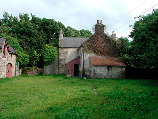 farm house, farmyard complexfarm house, farmyard complex · 612 yd
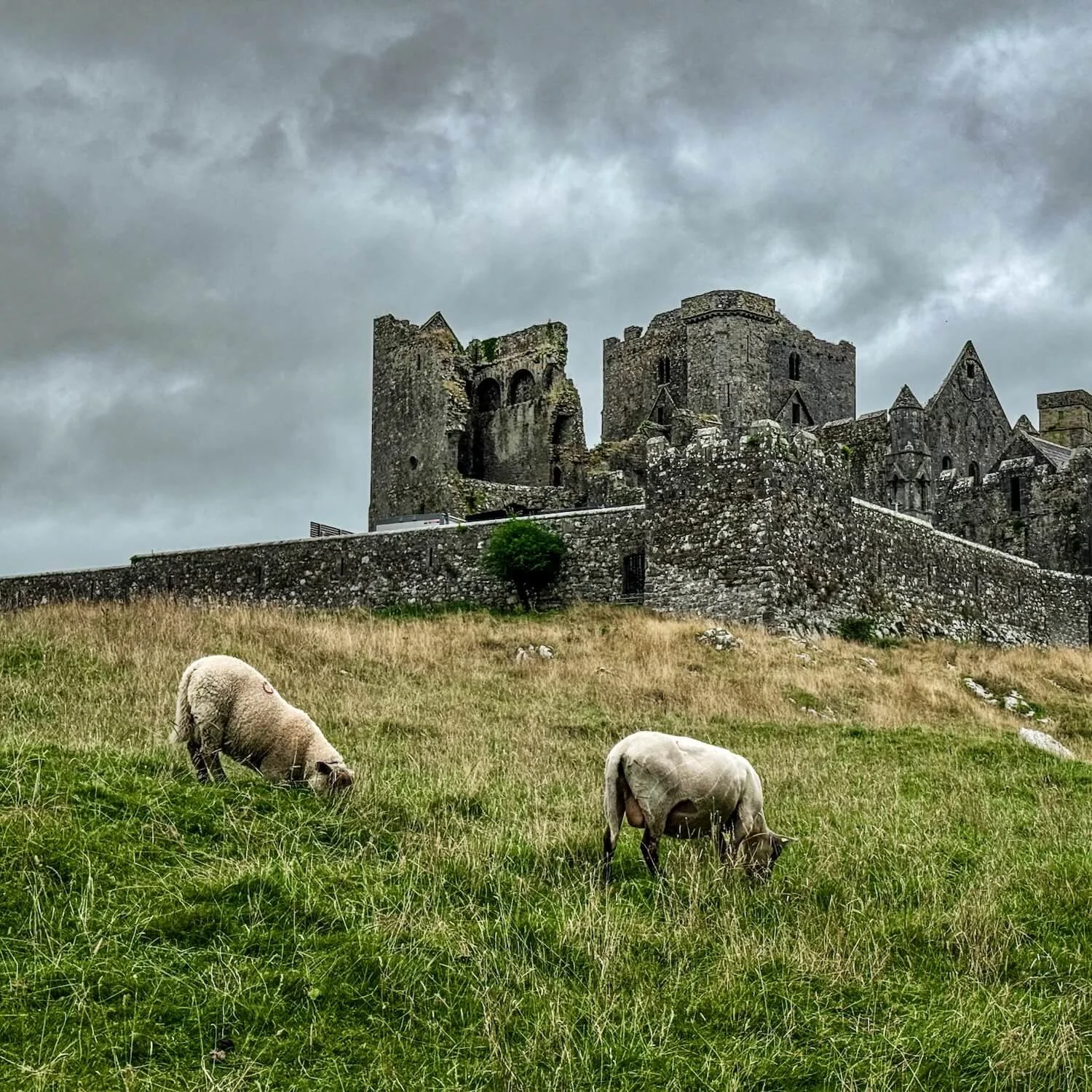 Partially hachuredFairy fort / earthen ringfort · 895 yd
 Font (present location) in BallynacarrigyFont (present location) · 1020 yd
 Site of CastleCastle, unclassified · 1032 yd
 Site of Castle, Castle FieldCastle, unclassified · 1623 yd
 Horse-chestnutHorse-chestnut · 1.4 mi
 Baronstown ForestWood · 1.5 mi
 Abbeyshrule AbbeyRuins · 4.8 mi
 National Famine WayWalking route · 10 mi
 Noughaval CemeteryArchaeological place · 11 mi
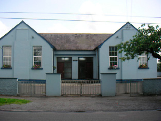 Saint Bridget's National Schoolschool · 663 yd