What is recorded here
Situated on SE facing slope of steep hillock. Ringfort (WM003-017----; WM003-018----) 180m to N, ringfort (WM003-020----) immediately to SE and ringfort (WM003-021----) 80m to SSE. Roughly raised circular-shaped area (approx. int. diam. 38m) enclosed by a substantial earthen bank with wide deep external fosse and causewayed entrance gap at SE which has been widened by modern quarrying. The bank is badly damaged by burrowing and scrub roots.
Compiled by: Frank Coyne & Caimin O'Brien
Date of upload: 21 December 2016
The monument record does not grant public access. Check the route and ask the landowner before entering private land.
- What survives
- Recorded monument
Places near here
 Partially hachuredFairy fort / earthen ringfort · 250 yd
 Hut site in BallymanusHut site · 575 yd
 Ballycomoyle National Schoolschool · 1316 yd
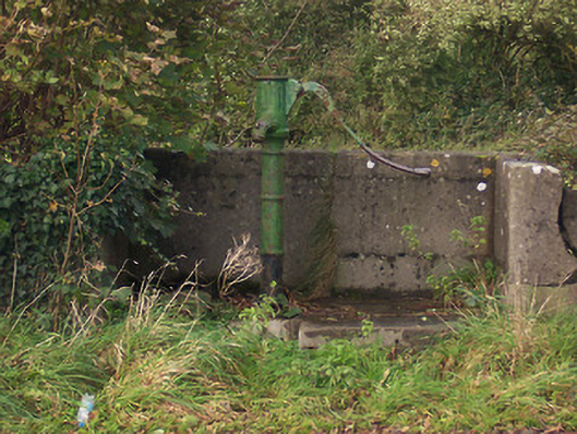 water pumpwater pump · 1557 yd
 Hilltown Castle (in ruins)Castle, tower house · 1686 yd
 Mullaghmeen ForestPicnic place · 1.2 mi
 CastleCastle, unclassified · 1.3 mi
 Mullaghmeen Red WalkWalking route · 1.6 mi
 Mullaghmeen White WalkWalking route · 1.8 mi
 Rock of CurryCliff · 2.2 mi
 European ashEuropean ash · 3.1 mi
 Silver FirSilver Fir · 3.7 mi