What is recorded here
Thirty-three metres across on rising Kerry pasture, the fort rings the land with a broken earthen bank and shallow fosse. Its three gaps face east and south, inviting entry rather than blocking it. The Ballyline River flows southwest below, witnessing whatever life moved through the circle when the grass was young.
Internal diameter 33m N-S, 32m E-W
This site is situated on slightly rising pastureland with good views in all directions. The Ballyline River runs SW of the site. The site consists of a circular area enclosed by an earthen bank and exterior fosse. The enclosing bank is best preserved to the E and S and measures a maximum height of 1.6m externally and .7m above the interior. The width of the bank at the base measures 4m. Except from the NE to E, a slight flat-bottomed fosse 2m wide and c .6m deep is evident. Three gaps in the bank to the E, SSE and SSW measure 4m, 5m and c 4m respectively.
The above description is derived from C. Toal, ‘North Kerry Archaeological Survey’. Dingle. Brandon in association with FAS Training and Employment Authority (1995), no. 260. In certain instances the entries have been revised and updated in the light of recent research.
Date of upload: 2 August 2013
The monument record does not grant public access. Check the route and ask the landowner before entering private land.
- What survives
- Recorded monument
Places near here
 Coolbeg FortArchaeological place · 176 yd
 Meelish FortArchaeological place · 1154 yd
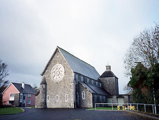 Catholic Church of Saint Michael the Archangelchurch/chapel · 1574 yd
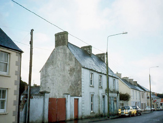 Ó Coileáinhouse · 1679 yd
 Siege of Carrigafoyle Castlesiege · 2.5 mi
 CastleCastle, ringwork · 2.5 mi
 Carrigafoyle CastleCastle · 2.6 mi
 Carrig IslandIsland · 2.9 mi
 KnockanoreMountain / peak · 5.2 mi
 Fawley's PointHeadland · 5.5 mi
 Scattery IslandIsland · 5.6 mi
 Ballymacrinan BayBay · 5.6 mi