What is recorded here
A ringfort (diam. c. 15m) described by Walshe (1934, 260) in field called the 'rath field' immediately W of a cist burial (WI028-020----). This has not been located and may refer to the ringfort in adjacent Rathgorragh Lower townland (WI028-001----).
Compiled by: Mary Tunney
Date of upload: 19 December 2012
The monument record does not grant public access. Check the route and ask the landowner before entering private land.
- What survives
- Recorded monument
Places near here
 IndicatedFairy fort / earthen ringfort · 1575 yd
 Enclosure in ToorboyEnclosure · 1.0 mi
 Ballineddan MountainMountain / peak · 1.6 mi
 SlievemaanMountain / peak · 1.6 mi
 The Black StairsNamed rock · 1.7 mi
 The Stripped FlagsNamed rock · 2.3 mi
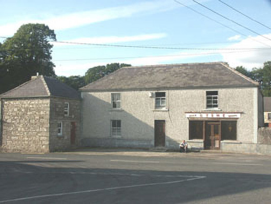 Byrnehouse · 2.3 mi
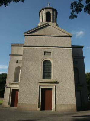 Saint Mary's Catholic Churchchurch/chapel · 2.7 mi
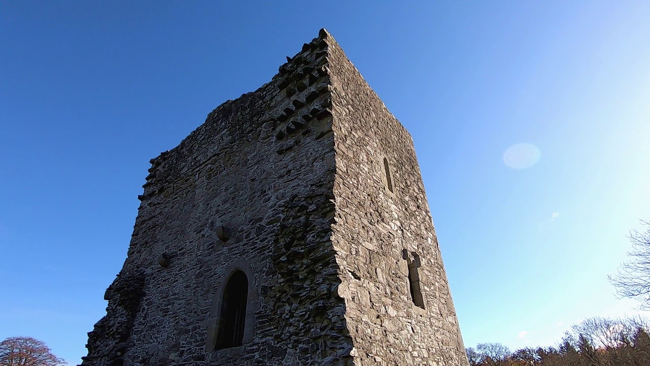 CastleCastle, motte · 2.7 mi
 Dwyer McAllister CottageMuseum · 3.3 mi
 Drumgoff Forest Recreation AreaForest · 3.8 mi
 Sessile OakSessile Oak · 3.8 mi