What is recorded here
Fairy fort in Ballykerwick, County Cork. A circular earthwork about thirty-five metres across, with one bank and no ditch, marked on maps from 1842 to 1939. Now levelled into pasture, but still visible from above as a dark band enclosing a pale circle. The kind of place people once walked past without explaining, because explanation was not what it asked for.
In pasture. Depicted as hachured circular enclosure (diam. c. 35m) on 1842, 1904 and 1939 OS 6-inch maps. According to Hartnett (1939, 174), 'single rampart with no trace of an outer fosse'; possible entrance to E, with three other breaks in bank; 'overall diameter is 136 feet'. Levelled; slight rise visible in area of site. Visible in aerial photograph (CASAP) as cropmark showing dark band enclosing circular area.
The above description is derived from the published 'Archaeological Inventory of County Cork. Volume 3: Mid Cork' (Dublin: Stationery Office, 1997). In certain instances the entries have been revised and updated in the light of recent research.
Date of upload/revision: 14 January 2009
A fairy fort / earthen ringfort in Ballykerwick is a circular early-medieval defensive or domestic site, likely dating to between the 5th and 10th centuries AD. The site, associated with local folklore of fairies and other supernatural beings, has been recorded on Ordnance Survey maps since 1842 and retains a single rampart with a possible eastern entrance.
The monument record does not grant public access. Check the route and ask the landowner before entering private land.
- What survives
- Recorded monument
Places near here
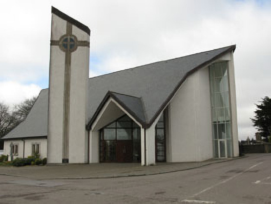 church/chapelchurch/chapel · 279 yd
 monumentmonument · 303 yd
 Grave YardGraveyard · 974 yd
 Fulachta FiadhFulacht fia · 1117 yd
 New TipperaryVisitor information · 1.1 mi
 Saint Bartholomew's WellSpring · 1.2 mi
 Oldcastle WoodWood · 3.1 mi
 Ballyvodane Castle (in Ruins)Castle, unclassified · 3.4 mi
 Carrignamuck Tower HouseCastle · 4.2 mi
 Knockduff Wind FarmVisitor information · 4.9 mi
 Mullinhassig WoodWood · 5.3 mi
 Mullinhassig WaterfallWaterfall · 5.3 mi