What is recorded here
Fairy forts are human ringforts mislabelled by folklore; this is a rath in Ballyhimock, County Cork, a circular earthworks about forty metres across on a north-facing pasture slope. Its bank once marked the townland boundary from west to north-northeast, and mappers still drew it in 1842, 1905 and 1935. Ploughing and field works levelled much of it, but a dump-built stone bank survives inside the fence line and the lost curve still shows as a shadow in aerial photographs. The fairies never lived there; people did, and forgot or were forgotten.
In pasture, on N-facing slope. Depicted as hachured circular enclosure (diam. c. 40m) with bank incorporated into townland boundary W->NNE on 1842, 1905 and 1935 OS 6-inch maps. Levelled; dump-constructed stone bank survives in field fence system NW->NNE; levelled bank NNE->NW visible as shadow site in aerial photograph (GSIAP, R522).
The above description is derived from the published 'Archaeological Inventory of County Cork. Volume 4: North Cork' (Dublin: Stationery Office, 2000). In certain instances the entries have been revised and updated in the light of recent research.
Date of upload/revision: 14 January 2009
The monument record does not grant public access. Check the route and ask the landowner before entering private land.
- What survives
- Recorded monument
Places near here
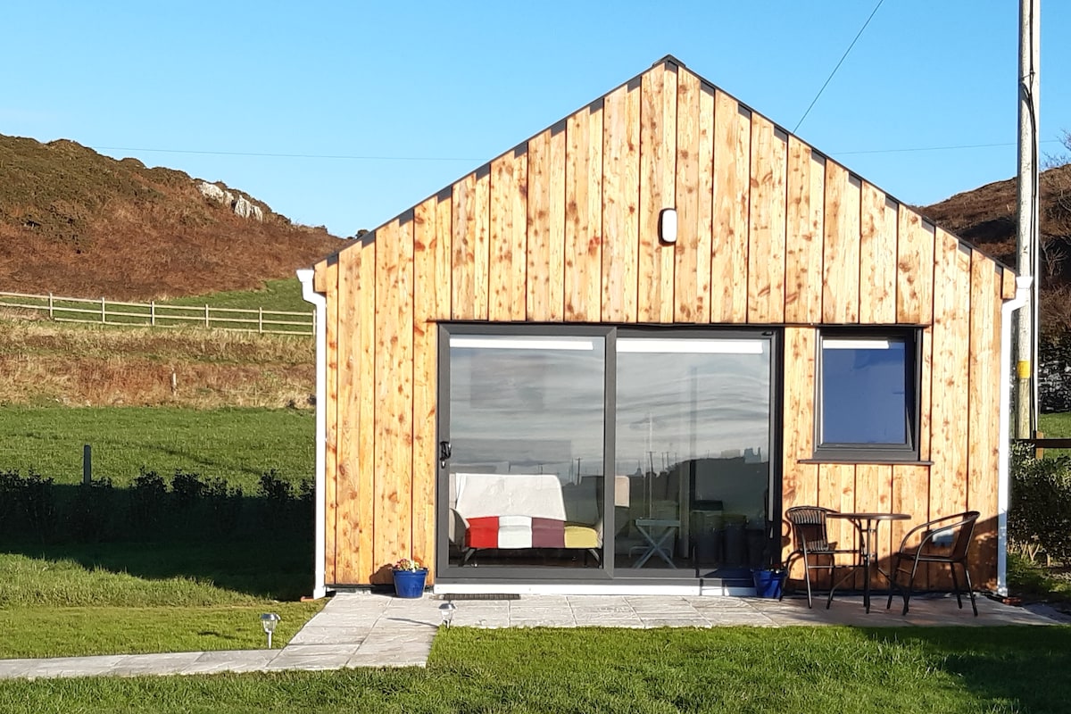 Enclosure in BallyhimockEnclosure · 589 yd
 Fulacht fia in SkenakillaFulacht fia · 742 yd
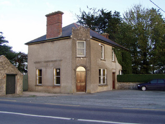 Griffin'shouse · 1337 yd
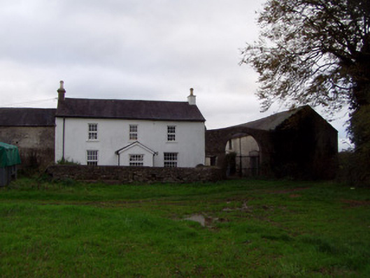 Home Farmfarmyard complex · 1756 yd
 Anne's Grove GardensHeritage attraction · 1.6 mi
 Shanballymore Castle (Site of)Castle, unclassified · 1.9 mi
 Ruane Castle (Site of)Castle, unclassified · 2.6 mi
 Pedunculate OakPedunculate Oak · 3.3 mi
 Scots PineScots Pine · 3.5 mi
 Smith's WellSpring · 4.5 mi
 Blackwater (Avondhu) WayWalking route · 4.7 mi
 Flat cemetery in Ballyenahan NorthFlat cemetery · 5.1 mi