What is recorded here
Fairy forts are not fairy forts at all. They are ordinary ringforts misnamed because people stopped remembering the humans who built them. In Ballyhimikin, a thirty-one-metre earthen circle stood on an east-facing slope until farming levelled most of it around 1979. What remains is a fence line and a shallow ditch, but the shape still refuses to disappear. The fairies never lived there. People did, and were forgotten.
In tillage, on E-facing slope. Circular area (diam. 31m) defined by earthen bank (H 1m) NNE->SE, incorporated into field fence system, with shallow external fosse; slight scarp elsewhere. Bank stone faced in parts. According to local information levelled c. 1979, apart from field fence.
The above description is derived from the published 'Archaeological Inventory of County Cork. Volume 2: East and South Cork' (Dublin: Stationery Office, 1994). In certain instances the entries have been revised and updated in the light of recent research.
Date of upload/revision: 14 January 2009
The monument record does not grant public access. Check the route and ask the landowner before entering private land.
- What survives
- Recorded monument
Places near here
 Fulacht fia in Garryvoe UpperFulacht fia · 1077 yd
 Garryvoe Castle (in Ruins)Castle, tower house · 1100 yd
 Grave YardGraveyard · 1111 yd
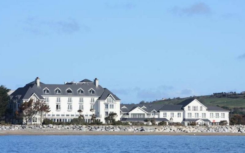 Garryvoe Church (in Ruins)Church · 1130 yd
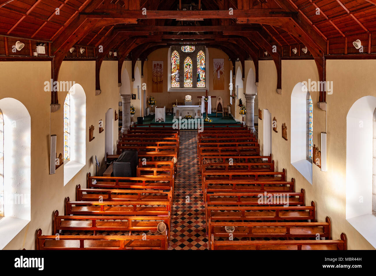 Bohillane Church (in Ruins)Church · 1.2 mi
 Garryvoe BeachBeach / strand · 1.7 mi
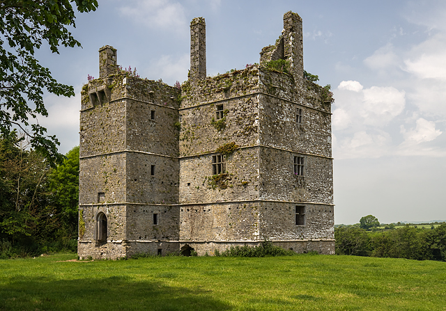 Ightermurragh Castle (in Ruins)House, fortified house · 2.1 mi
 Mitchell's WoodWood · 2.6 mi
 William Heffernan MemorialMemorial · 3.0 mi
 Mary StandfordMemorial · 3.4 mi
 P.N.L.B. Mary StandfordWreck · 3.4 mi
 Ballycotton Island (Small)Islet · 3.5 mi