What is recorded here
It is gone now, erased from the Kerry field where it stood as a complete circle on early maps. The fairies did not leave it behind; they took the shape with them when the men came to level the earth. What remains is a vacant patch of soil that refuses to explain itself, marking the exact place where human certainty stopped and fantasy began.
Marked on the 1841-42 OS map as a complete circular enclosure, on the later edition map it has been disfigured on the NW to W side by fieldbank. This site also shows up quite clearly on the Geological Survey of Ireland's aerial photographs (1977). However, it has now been completely levelled and no surface trace remains.
The above description is derived from C. Toal, ‘North Kerry Archaeological Survey’. Dingle. Brandon in association with FAS Training and Employment Authority (1995), no. 418. In certain instances the entries have been revised and updated in the light of recent research.
Date of upload: 2 August 2013
The monument record does not grant public access. Check the route and ask the landowner before entering private land.
- What survives
- Recorded monument
Places near here
 Listowel Bridgebridge · 918 yd
 Holocaust MemorialMemorial · 1178 yd
 John B. KeaneMemorial · 1181 yd
 Fulacht fia in BallygowlogeFulacht fia · 1313 yd
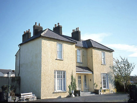 Gurtenard Househouse · 1408 yd
 ListowelFairy fort / earthen ringfort · 1475 yd
 Listowel Castle (in ruins)Castle, tower house · 1516 yd
 Kerry Writers' MuseumMuseum · 1530 yd
 Lartigue MonorailMuseum · 1.2 mi
 CastleCastle, tower house · 1.4 mi
 KnockanoreMountain / peak · 8.3 mi
 Kilflynn Nature ReserveNature reserve · 8.7 mi