What is recorded here
Marianne and her siblings walked past Ballyglavin often. They skipped the fort because local children warned that the visible entrance closed behind eager feet. Years later Marianne returned with a surveying instrument and found the missing tunnel mapping cleanly through solid rock. The fort had not trapped them. It had been waiting for someone who could prove the shape of its hidden heart.
In pasture, on crest of hill above NW-facing slope. Good view in all directions. Circular area (37m N-S; 40.8m E-W) enclosed by eroded inner bank (H 0.45m); fosse (D 0.2m) E->N; eroded outer bank (H 0.6m) E->N. Gap in banks to S, with causeway; gap in inner bank to E. Banks overgrown with gorse; interior clear, sloping gently to W. According to landowner, "tunnel" (CO056-010---) in fort; no visible surface trace.
The above description is derived from the published 'Archaeological Inventory of County Cork. Volume 2: East and South Cork' (Dublin: Stationery Office, 1994). In certain instances the entries have been revised and updated in the light of recent research.
Date of upload/revision: 14 January 2009
The monument record does not grant public access. Check the route and ask the landowner before entering private land.
- What survives
- Recorded monument
Places near here
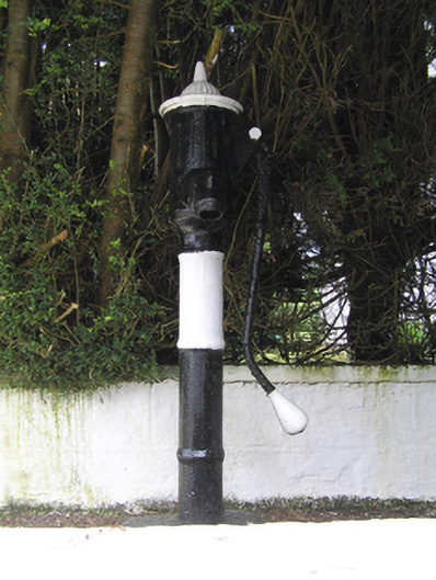 water pumpwater pump · 429 yd
 milestone/milepostmilestone/milepost · 581 yd
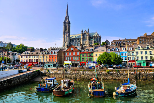 Fulacht fia in Cornaveigh (imokilly By., Ardagh Par.)Fulacht fia · 1302 yd
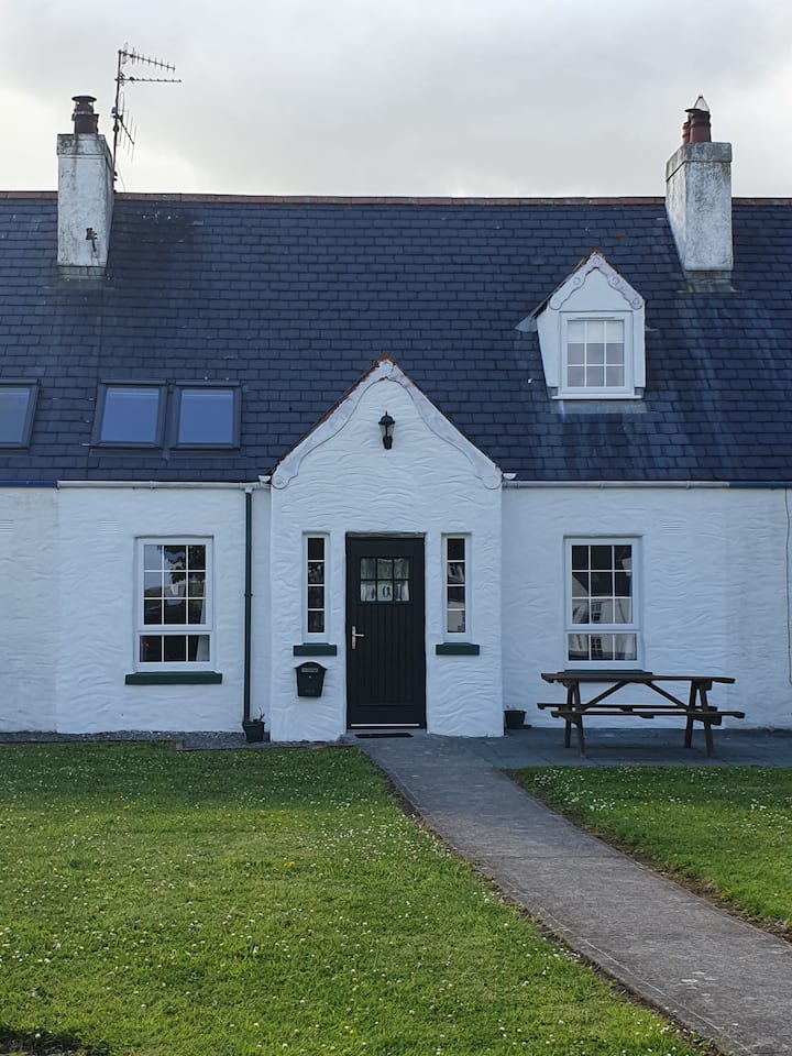 EnclosureEnclosure · 1586 yd
 CastleCastle, unclassified · 1653 yd
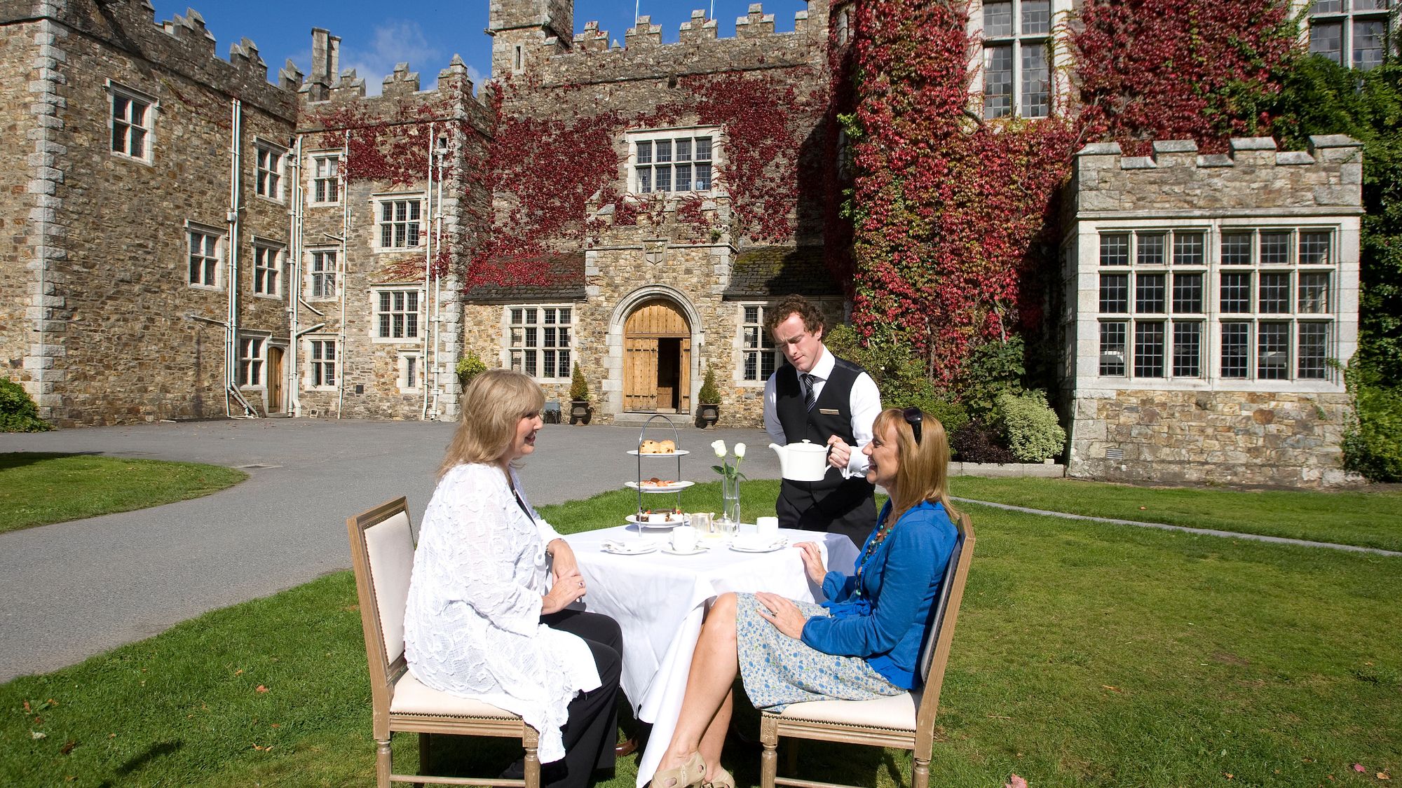 Castle Miles (in ruins)Castle, unclassified · 1.1 mi
 European ashEuropean ash · 1.8 mi
 Molana AbbeyHeritage attraction · 2.1 mi
 Ringcrew WoodForest · 2.8 mi
 St Bridget's WellSpring · 3.1 mi
 Youghal Foxhole Loop walkWalking route · 3.7 mi
 Fainin's WellSpring · 4.1 mi