What is recorded here
Fairy fort / earthen ringfort in Ballygeel is a level-pasture ringfort in County Limerick, Ireland, with a 26m circular scarped edge and possible shallow fosse. Another enclosure abuts at the southwest, suggesting the field once held more than one occupied or defended place. People may have lived, stored grain or gathered stock there before the earth was grazed smooth. The name fairy fort remains a local story, not a proven claim, yet it fits the kind of forgotten shape that still feels half-alive at dusk.
In level pasture. Circular enclosure visible as cropmark on aerial photograph (LAS) is now evident as circular area 26m N-S; 26m E-W) defined by scarped edge (Wth 2m; H 0.25m) with possible remains of fosse (Wth 5m; D 0.15m) W-E. Another enclosure abuts at SW (LI036-209----).
Compiled by: Denis Power
Date of upload: 26 August 2011
The monument record does not grant public access. Check the route and ask the landowner before entering private land.
- What survives
- Recorded monument
Places near here
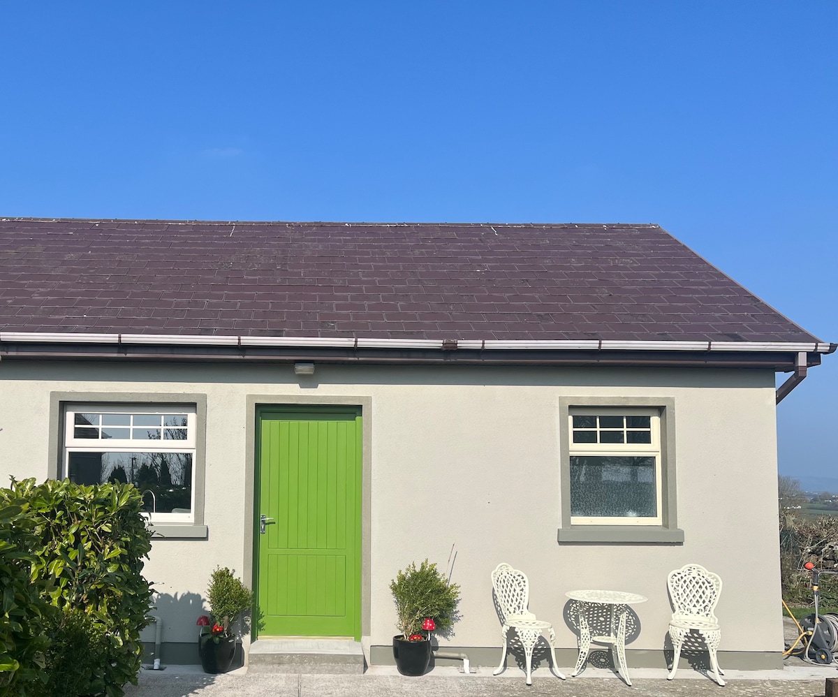 Enclosure in BallygeelEnclosure · 34 yd
 Moanleanna Househouse · 1235 yd
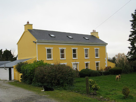 Camas Househouse · 1449 yd
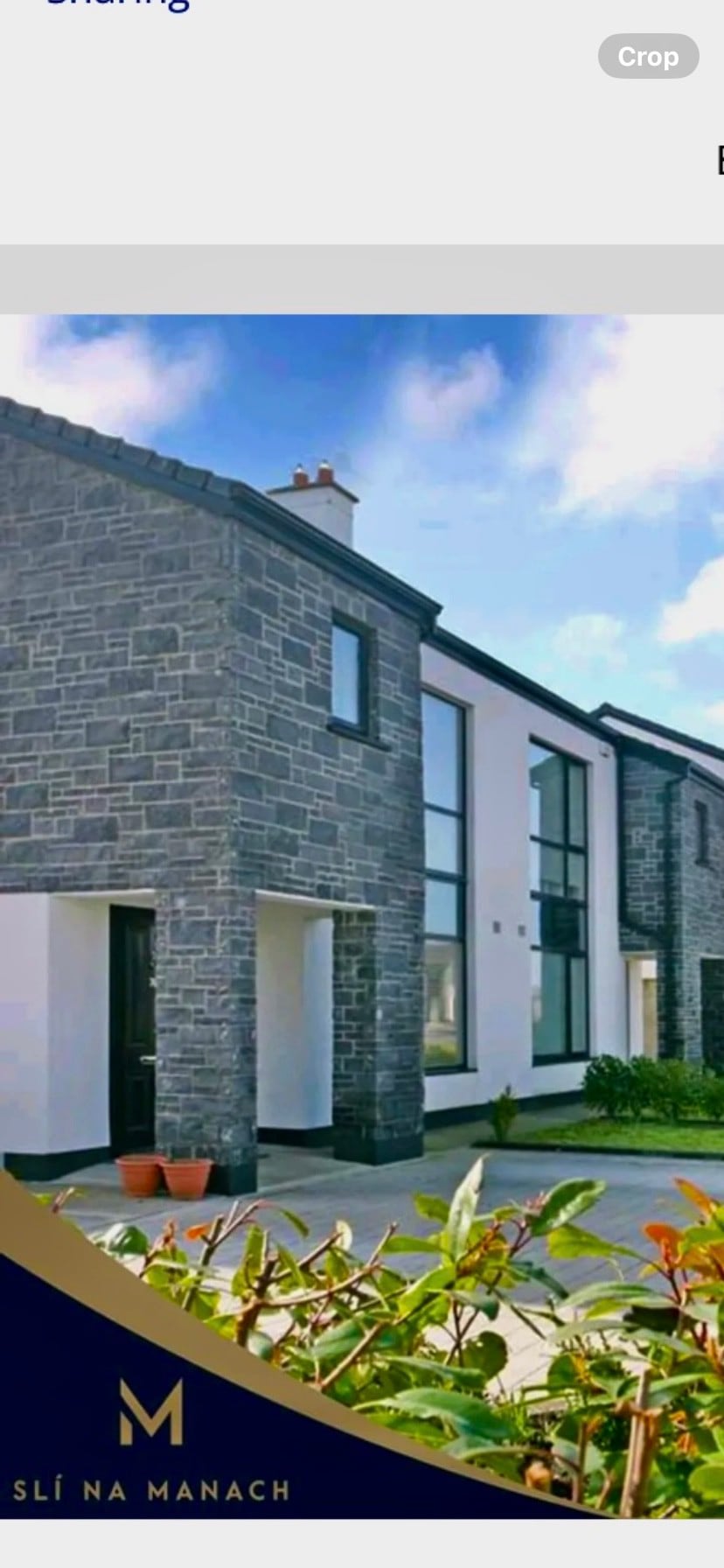 Enclosure in BallymackesyEnclosure · 1.2 mi
 Castle MahonCastle · 2.1 mi
 Templars Castle (in ruins)Castle, Anglo-Norman masonry castle · 2.2 mi
 Saint Ite's WellSpring · 2.7 mi
 Ballagh MountainMountain / peak · 3.9 mi
 Limerick GreenwayWalking route · 4.6 mi
 Garbally WellSpring · 4.9 mi
 Sugar HillMountain / peak · 5.1 mi
 European ashEuropean ash · 6.1 mi