What is recorded here
Visible as a circular feature on aerial photographs (GSIAP: M 63-4), and situated at the summit of a WNW-ESE ridge, towards the SE end. This is a circular grass-covered and slightly domed area (diam. c. 47m N-S; c. 44m E-W; H 0.6m at N to 1m at E). There is no visible fosse or entrance but it is undoubtedly a rath.
Compiled by: Michael Moore
Date of upload: 24 August 2010
The monument record does not grant public access. Check the route and ask the landowner before entering private land.
- What survives
- Recorded monument
Places near here
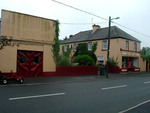 J. and C. Daly and Companyschool · 503 yd
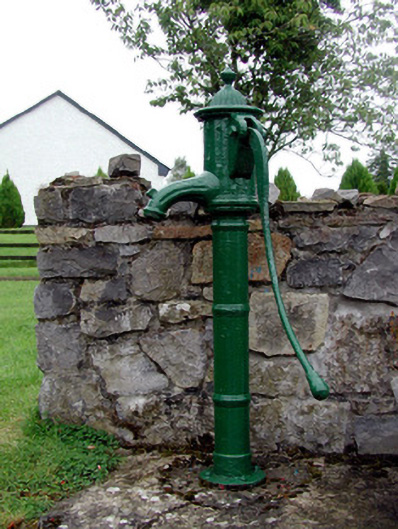 Historic buildingOfficially recorded historic building · 508 yd
 Ritual siteRitual site, holy tree/bush · 844 yd
 Crannog in BallintoberCrannog · 876 yd
 CastleCastle, Anglo-Norman masonry castle · 1110 yd
 HawthornHawthorn · 3.9 mi
 Silver IslandIslet · 4.2 mi
_-_geograph.org.uk_-_1952978.jpg?width=1280) Bawn in Glinsk (ballymoe By.)Bawn · 4.4 mi
Bawn in Glinsk (ballymoe By.)Bawn · 4.4 mi Workhouse MemorialMemorial · 4.4 mi
 Site of Killomaine Grave YardArchaeological place · 4.5 mi
 Clonalis HouseMuseum · 6.3 mi
 European ashEuropean ash · 8.2 mi