
What is recorded here
Situated in a broad hollow c. 300m E of Ballintober castle (RO027-048002-). The outline of an oval lake (dims c. 600m E-W; c. 250-350m N-S) is depicted on the OS 6-inch editions of 1835 and 1908 as a marshy area liable to flooding. Two oval mounds that are c. 10m apart at the S edge of this turlough were fully surveyed and subjected to magnetometer and ground penetrating radar surveys (15R0051) during 2016-17. The W mound (dims of base c. 20m E-W; c. 10m N-S; H c. 2m) shows evidence of what might be a large hearth (diam. c. 2m) in its interior. The E mound (dims c. 14m E-W; c. 5m N-S; H c. 1m) is less well defined with a hollow on its SW side. From the location at the edge of the turlough it is quite possible that they are the remains of a crannog. (Brady et al. 2017, 40)
Compiled by: Michael Moore
Date of upload: 24 November 2020
The monument record does not grant public access. Check the route and ask the landowner before entering private land.
- What survives
- Recorded monument
Places near here
 Field system in BallintoberField system · 153 yd
 RoadRoad, road/trackway · 154 yd
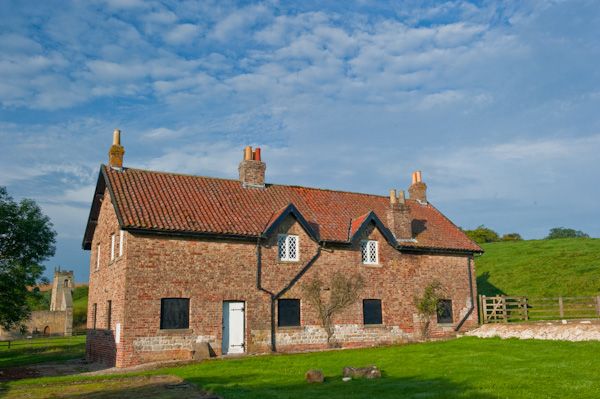 Settlement desertedSettlement deserted, medieval · 218 yd
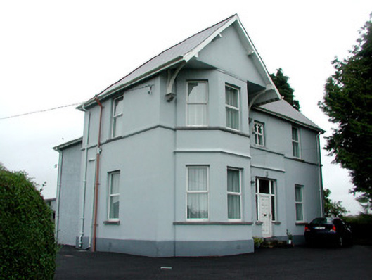 presbytery/parochial/curate's housepresbytery/parochial/curate's house · 307 yd
 CastleCastle, Anglo-Norman masonry castle · 538 yd
 Silver IslandIslet · 3.7 mi
 Workhouse MemorialMemorial · 4.1 mi
 HawthornHawthorn · 4.3 mi
 Castlereagh HouseCastle, unclassified · 4.6 mi
 Site of Killomaine Grave YardArchaeological place · 4.9 mi
 Clonalis HouseMuseum · 6.0 mi
 European ashEuropean ash · 8.7 mi
Other information
Photo: Credit not shown in the picture search · Rights wording not checked; contact us if this picture should be removed