What is recorded here
Fairy fort in Ballyengland Lower is a roughly circular earthen ringfort, about 22 metres across, set in pasture on a gentle south-west facing slope. Its scarped edge still stands 0.4 metres high in places, though briars now choke the southern half and cattle graze the rest. The name suggests people once believed the site belonged to fairies rather than themselves, a common way of marking places too old or odd to explain. That belief may have spared it from being levelled, leaving the ring intact beneath the grass.
In pasture, on gentle SW-facing slope. Roughly circular area (22.3m N-S; 20.6m E-W) defined by scarped edge (H 0.4m; Wth 4.6m), best preserved NNE->E and SW->NW. A slight dip (D 0.2m) immediately to W of scarp, with low rise (H 0.15m) running along its outer edge, is probably natural feature. Interior is under pasture except for S half which is covered with briars. Immediately N of enclosure is area of limestone outcrop.
Compiled by: Denis Power
Date of upload: 26 August 2011
The monument record does not grant public access. Check the route and ask the landowner before entering private land.
- What survives
- Recorded monument
Places near here
 Enclosure in Ballyengland LowerEnclosure · 531 yd
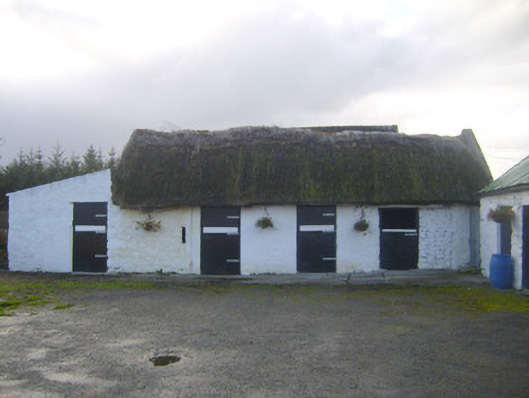 stablesstables · 738 yd
 Stewick Housecountry house · 1252 yd
 Sunday WellsHoly well · 1.1 mi
 Askeaton CastleHeritage attraction · 2.0 mi
 Curraghchase Forest ParkForest · 2.5 mi
 European YewEuropean Yew · 2.5 mi
 Ballynash CastleCastle, unclassified · 2.7 mi
 Bawn in Castletown (kenry By.)Bawn · 2.8 mi
 Holly IslandIslet · 3.3 mi
 Greenish IslandIslet · 3.4 mi
 Courtbrown PointHeadland · 3.5 mi