What is recorded here
Fairy fort in Ballyengland Lower is a 28m earthen ringfort now swallowed by a working farmyard on a west-facing slope. Its boundary is lost beneath horse paddocks, fences and a shed, leaving only a vague circular shadow where humans may have lived, buried or forgotten. The land has not released the fort; it has absorbed the fort into daily use.
In farmyard, on break in W-facing slope. Monument, depicted as embanked circular enclosure on 1923 OS 6-inch map, has been engulfed within farmyard complex. A roughly circular area (diam. 28m E-W) can be discerned, defined S->N by scarped edge which appears to be natural break in slope. From NE->E area skirted by artificially raised horse-training paddock, from E->SE a fence defines area, and SE->S it is bordered by a farm shed. Interior area under grass and slopes down to W. It is unclear what if anything of original site survives.
Compiled by: Denis Power
Date of upload: 26 August 2011
The monument record does not grant public access. Check the route and ask the landowner before entering private land.
- What survives
- Recorded monument
Places near here
 Enclosure in Ballyengland LowerEnclosure · 492 yd
 Stewick Housecountry house · 823 yd
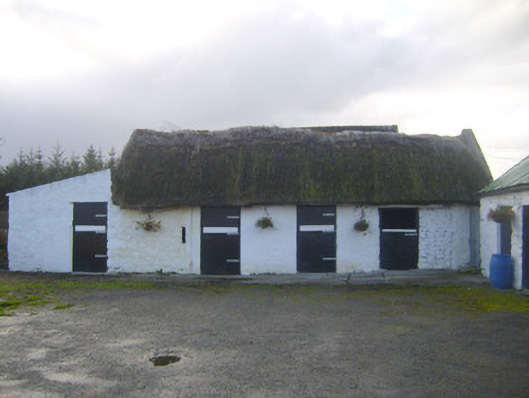 stablesstables · 961 yd
 Sunday WellsHoly well · 1286 yd
 Askeaton CastleHeritage attraction · 1.6 mi
 Ballynash CastleCastle, unclassified · 2.4 mi
 Tomdeely CastleCastle · 2.6 mi
 Curraghchase Forest ParkForest · 2.8 mi
 European YewEuropean Yew · 2.9 mi
 Holly IslandIslet · 2.9 mi
 Greenish IslandIslet · 3.2 mi
 Courtbrown PointHeadland · 3.3 mi