What is recorded here
Fairy fort in Ballyelan, County Limerick: a roughly circular earthen ring, 25.8m by 21.5m, on a south-facing pasture slope. Its bank survives at 0.9m inside and 0.5m outside on the west, while a scarped edge 1.5m high and 7m wide marks the east. Cattle have poached the level interior, but the shape still reads as a made place, not a mound of chance.
In pasture, on S-facing slope. Roughly circular area (25.8m N-S; 21.5m E-W) enclosed by eroded earthen bank (int. H 0.9m; ext. H 0.5m) W->E, and defined by heavily eroded scarped edge E->W (H 1.5m; Wth 7m). Level interior under pasture but heavily poached by cattle.
Compiled by: Denis Power
Date of upload: 26 August 2011
The monument record does not grant public access. Check the route and ask the landowner before entering private land.
- What survives
- Recorded monument
Places near here
 BarrowBarrow, ring-barrow · 801 yd
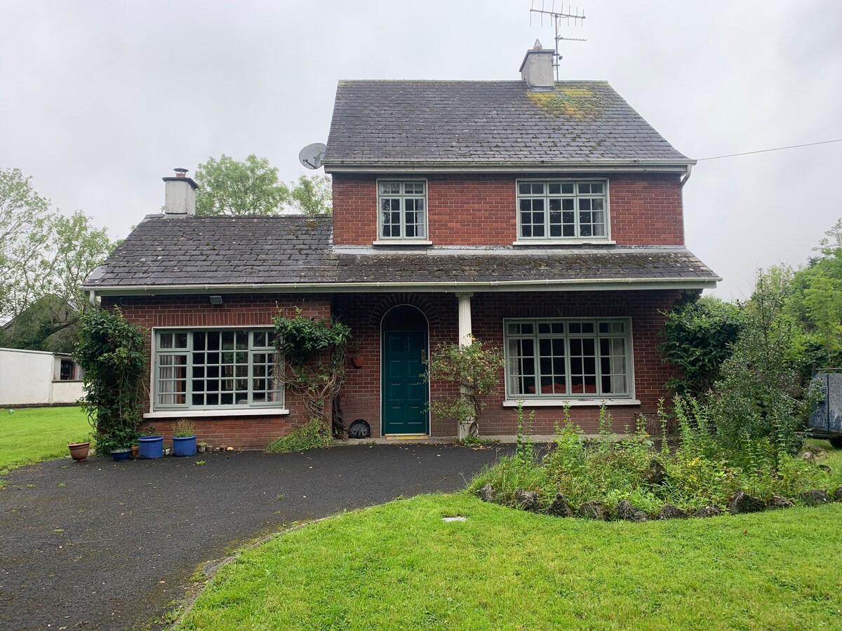 Enclosure in CommonEnclosure · 1085 yd
 Famine stoneMemorial · 1222 yd
 KnockfeerinaMountain / peak · 1256 yd
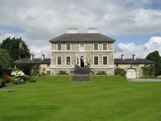 Ballyneale Housecountry house · 1.6 mi
 Ballynahaha Housegates/railings/walls · 1.6 mi
 Hachured (1923).Castle, motte · 2.0 mi
 Castle (in ruins)Castle, tower house · 2.1 mi
 Our Lady's WellSpring · 3.3 mi
 Kinnoor WellSpring · 3.3 mi
 Flat cemetery in Kiltenan SouthFlat cemetery · 4.2 mi
 Dysert AenghusaHeritage attraction · 4.9 mi