What is recorded here
No visible ruin remains in Ballyduhig, but a hidden circular boundary may still cross the soil beneath the grass. That is the fairytale part: a fort lost to memory but not to shape. The practical part is that the land itself remembers the line, holds the line, and waits for someone steady enough to see it.
This large circular enclosure is marked on the 1841-42 and 1914-15 OS maps and it also shows up on the Geological Survey of Ireland's aerial photographs (1974) as a possible crop mark. However, permission to inspect the site was refused.
The above description is derived from C. Toal, ‘North Kerry Archaeological Survey’. Dingle. Brandon in association with FAS Training and Employment Authority (1995), no. 602. In certain instances the entries have been revised and updated in the light of recent research.
Date of upload: 2 August 2013
A large earthen fairy fort (ringfort/rath) in Ballyduhig, likely dating to the early medieval period, with historical references on Ordnance Survey maps and aerial imagery suggesting its long-standing presence. Local tradition associates such sites with fairy lore, often regarded as dwellings of the "good people" or places of ancient ritual significance.
The monument record does not grant public access. Check the route and ask the landowner before entering private land.
- What survives
- Recorded monument
Places near here
 Billeragh Househouse · 491 yd
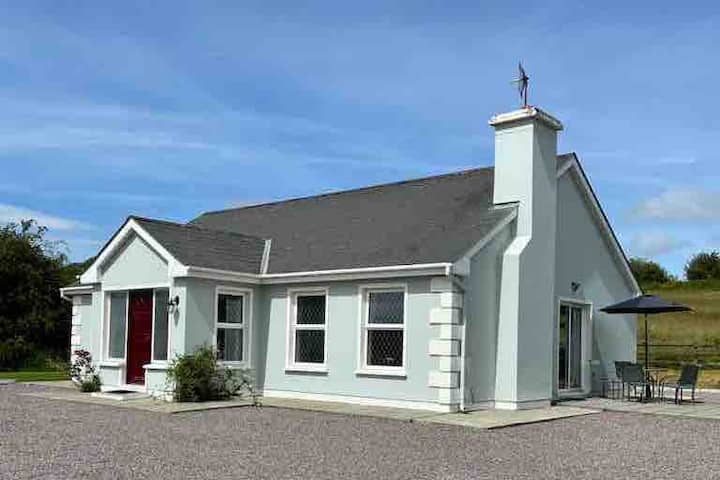 Enclosure in BallyduhigEnclosure · 565 yd
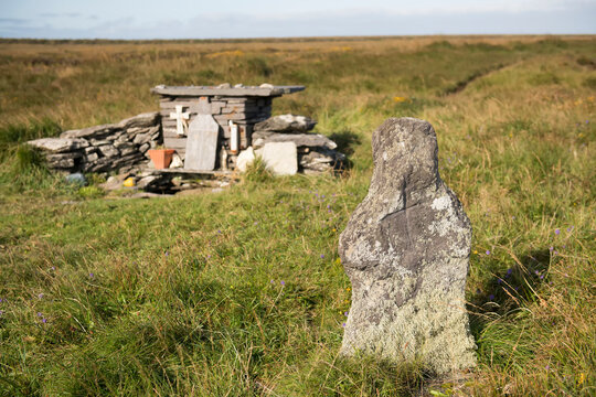 Holy well in Beheens WestHoly well · 1581 yd
 Listowel Bridgebridge · 1.9 mi
 Listowel Castle (in ruins)Castle, tower house · 1.9 mi
 Kerry Writers' MuseumMuseum · 2.0 mi
 Bryan MacMahonMemorial · 2.0 mi
 Holocaust MemorialMemorial · 2.1 mi
 Lartigue MonorailMuseum · 2.2 mi
 CastleCastle, tower house · 3.0 mi
 Kilflynn Nature ReserveNature reserve · 7.1 mi
 Stack's MountainMountain / peak · 7.6 mi