What is recorded here
The underground passage in the northern sector suggests the fort contained chambers, not an empty shell. That changes the story from a boundary marker to a working residence where people lived, stored food and perhaps kept animals through winter. The missing western bank and modern gaps remove some evidence, but the surviving chamber and stone-facing preserve the essential fact: this was a inhabited stronghold, not a fairy tale invented later.
In undulating grassland. Poorly preserved subcircular rath (30m E-W; 26m N-S) defined by an
earthen bank with evidence of internal stone-facing at NE. No visible surface trace of the survives at NW. Numerous gaps in the bank appear to be modern. There is a Man-made underground passage (GA097-005001-) in the N sector of the interior.
Compiled by: Galway Archaeological Survey, UCG
Date of upload: 13 October 2016
The monument record does not grant public access. Check the route and ask the landowner before entering private land.
- What survives
- Recorded monument
Places near here
 Man-made underground passage in Ballybaun (lackalea Ed)Man-made underground passage · 1 yd
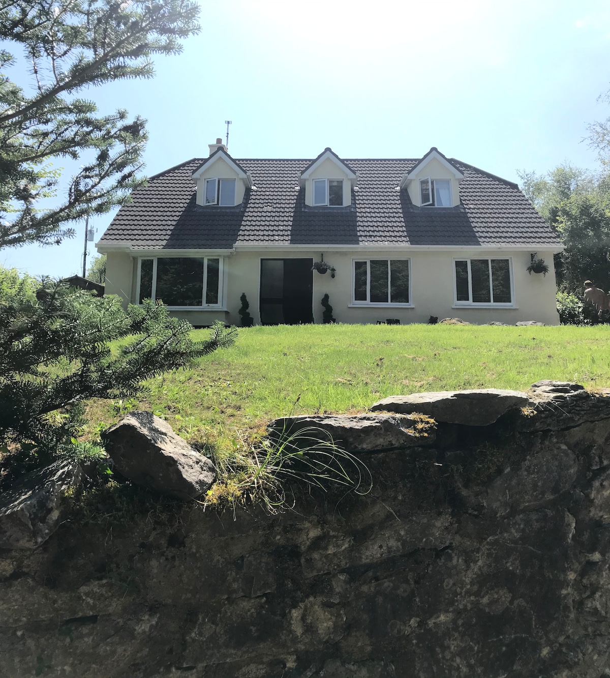 Enclosure in Cahernamuck WestEnclosure · 605 yd
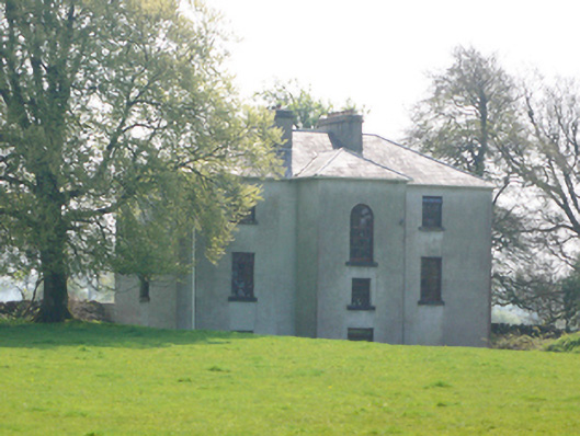 Lynchfort Househouse · 909 yd
 Old Mill[Mill, corn · 958 yd
 Bawn in Cahernamuck WestBawn · 1249 yd
 Raruddy Castle (in ruins)Castle, tower house · 1.2 mi
 Turoe StoneHeritage attraction · 2.1 mi
 Blake's IslandIslet · 2.7 mi
 Barrack IslandIslet · 2.7 mi
 Long PointHeadland · 3.6 mi
 Moyard WoodWood · 4.9 mi
 Scalpeen RockNamed rock · 7.6 mi