What is recorded here
Fairy forts are not fairy forts. They are human made and date to the middle ages or before. Ballinreaghan is no different. It is a ringfort, a rath, a home or held place from before written local memory. The field has swallowed it, but the circle is still thirty-eight metres across under the grass. That is large enough for a household, a herd and a decision about who belongs where. The fairies enter later, attracted to the hole left when the human name faded.
In level, low-lying pasture. A report in 1976 (SMR file) recorded that, although largely levelled, the outline of a bank of earth and stone with an external fosse, enclosing a roughly circular area (diam. c. 38m), could still be traced. The original entrance was not recognisable. Further levelling has since occurred and the monument is not visible at ground level.
Compiled by: Patrick F. O'Donovan
Date of upload: 23 November 2011
The monument record does not grant public access. Check the route and ask the landowner before entering private land.
- What survives
- Recorded monument
Places near here
 Pedestal of CrossCross · 839 yd
 Enclosure in Cross (ardagh By.)Enclosure · 866 yd
 Ardagh DemesneFort · 1428 yd
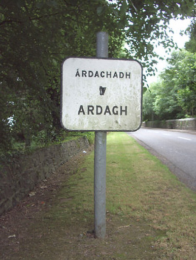 sign postsign post · 1433 yd
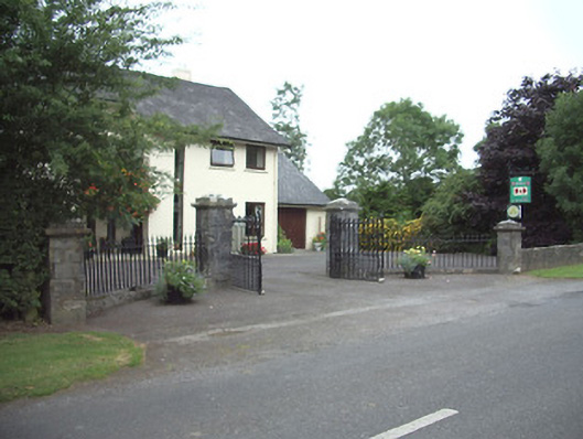 Ardkengates/railings/walls · 1671 yd
 Druming Ho. (in ruins)Castle, unclassified · 1.8 mi
 Oldtown CopseWood · 2.2 mi
 Oldtown DemesneForest · 2.3 mi
 National Famine WayWalking route · 4.0 mi
 Graveyard in Curry (ardagh By., Coolamber Ed)Graveyard · 6.6 mi
 Granard MotteMotte-and-bailey castle remains · 10 mi
 1798 Monumentmonument · 10 mi