What is recorded here
Fairy forts are no such thing. They are human ringforts, circular and deliberate, built by living people who owned the land and shaped it to their needs. In Ballinrea, that honest shape was lost when the fort was levelled around 1979. What remains is a gap in the field, not a mystery in the sky.
In tillage, on E-facing slope. Shown on 1933 OS 6-inch map as circular enclosure (diam. c. 40m). According to local information, levelled c. 1979. No visible surface trace.
The above description is derived from the published 'Archaeological Inventory of County Cork. Volume 2: East and South Cork' (Dublin: Stationery Office, 1994). In certain instances the entries have been revised and updated in the light of recent research.
Date of upload/revision: 14 January 2009
The monument record does not grant public access. Check the route and ask the landowner before entering private land.
- What survives
- Recorded monument
Places near here
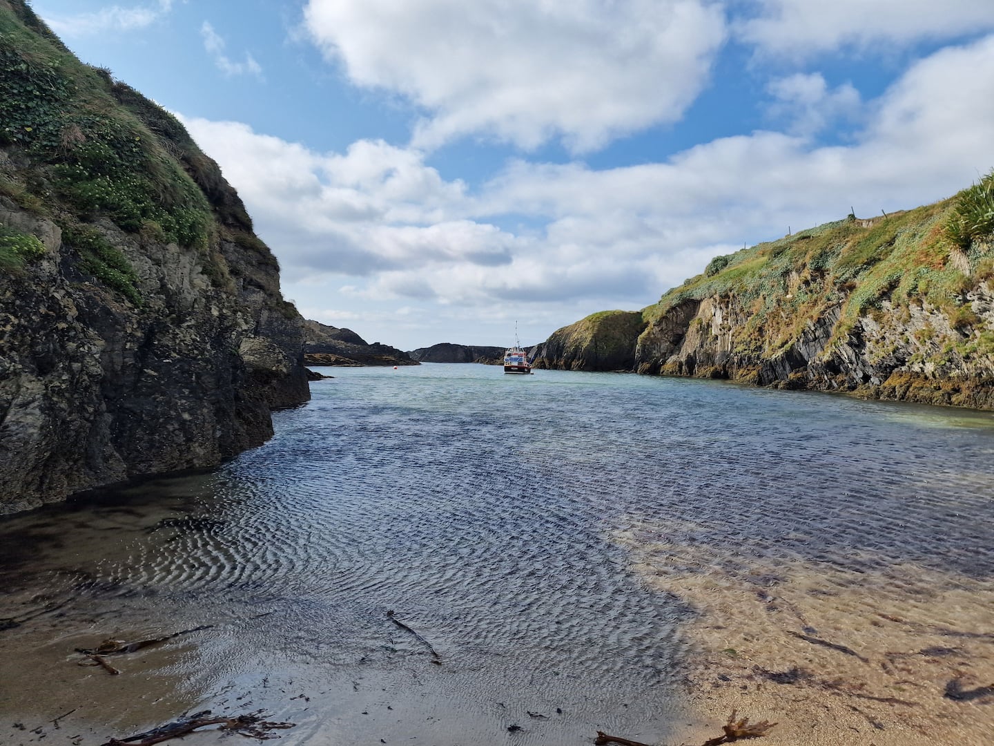 Enclosure in BallinreaEnclosure · 409 yd
 CrossMonument · 611 yd
 Pauper's GraveyardArchaeological place · 621 yd
 Country house in CastletreasureCountry house · 1633 yd
 Castle Treasure (Site of)Castle, unclassified · 1702 yd
 KilnKiln, lime · 1.1 mi
 Mulcon ValleyWood · 1.5 mi
 Ballybrack WoodsWood · 1.6 mi
 Ballea CastleCastle, tower house · 1.9 mi
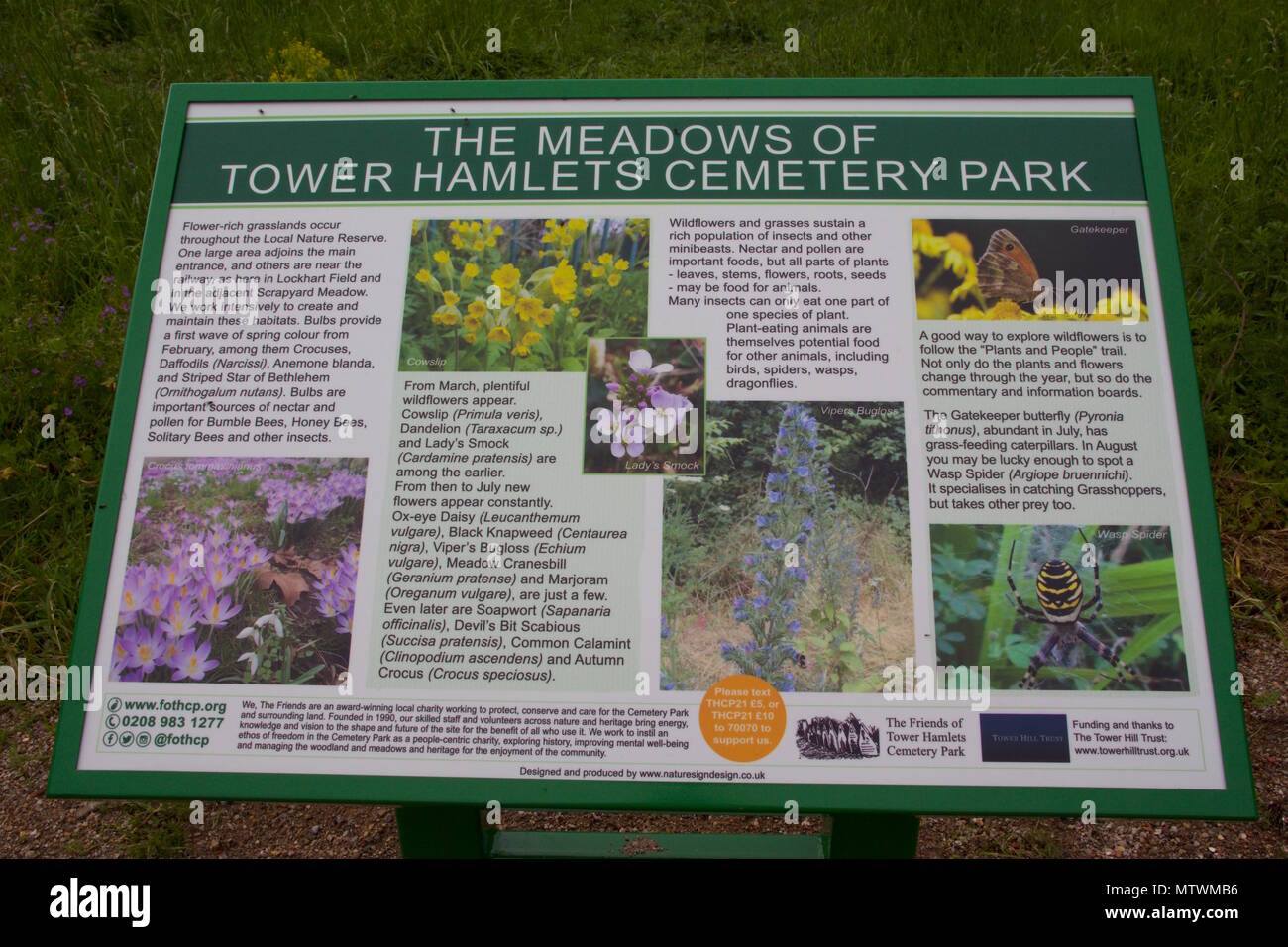 Wildlife and plant information boardsVisitor information · 1.9 mi
 Grey GalleryGallery · 2.0 mi
 Cork WalksVisitor information · 4.3 mi