What is recorded here
No fairy ever flew there. A family or clan shaped thirty metres of Galway hillside into a defensible circle, cut a ditch, left a gap at the northeast, and vanished into the centuries. The marsh still glows beneath the grass, the banks still stand, and the fort keeps doing what forts do: holding shape when memory leaves.
On W-facing slope of a hill, in grassland overlooking marshy ground to N. Well-preserved subcircular rath (E-W 34.5m, N-S 31.5m) defined by two banks and an intervening fosse. A scarp forms the inner enclosing element at NE. The outer bank is present from WSW to N and from NE to SSE. Well-defined entrance at NE. An enclosure (GA030-002----) lies c.200m to NW and a ringfort (GA030-004----) c. 250m to SE.
The above description is derived from the published 'Archaeological Inventory of County Galway Vol. II - North Galway'. Compiled by Olive Alcock, Kathy de hÓra and Paul Gosling (Dublin: Stationery Office, 1999).
Date of upload: 05 August 2010
The monument record does not grant public access. Check the route and ask the landowner before entering private land.
- What survives
- Recorded monument
Places near here
 Ritual siteRitual site, holy/saint's stone · 718 yd
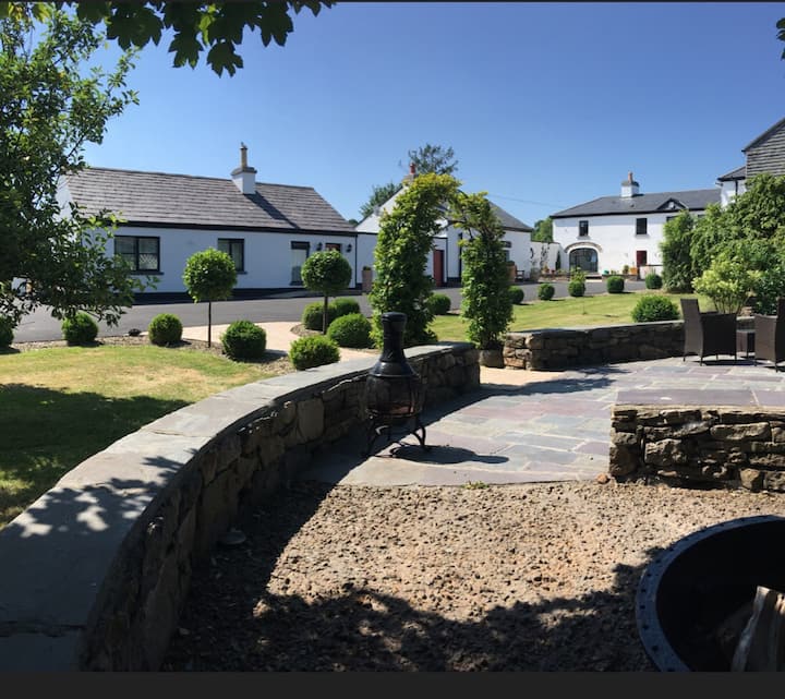 Enclosure in Cartron (carrowrevagh Ed )Enclosure · 1405 yd
 Saint Patrick's Catholic Churchchurch/chapel · 1554 yd
 Brownnsgrove Housedemesne walls/gates/railings · 1598 yd
 Site of Doonbally CastleCastle, unclassified · 2.4 mi
 Castle (in ruins)Castle, tower house · 2.4 mi
 European ashEuropean ash · 4.7 mi
 Mass RockNamed rock · 6.6 mi
 Knockmoy AbbeyHeritage attraction · 8.3 mi
 KnockmaaWood · 9.2 mi
 Enclosure in Carrowntanlis,carrowrevagh MoreEnclosure · 1515 yd
 Beagh FortFairy fort / earthen ringfort · 1519 yd