
What is recorded here
Close to a hill summit in gently rolling pastureland and tillage. Very poorly preserved circular enclosure (D c. 30m) defined by a faint rise from NW through N to SE. The td. boundary wall delimits the monument elsewhere. Two small quarries are visible in the centre and NW quadrant of the interior.
The above description is derived from the published 'Archaeological Inventory of County Galway Vol. II - North Galway'. Compiled by Olive Alcock, Kathy de hÓra and Paul Gosling (Dublin: Stationery Office, 1999).
Date of upload: 05 August 2010
A local fairy fort (ringfort/rath); wider significance not recorded.
The monument record does not grant public access. Check the route and ask the landowner before entering private land.
- What survives
- Recorded monument
Places near here
 Enclosure in Carrowrevagh MoreEnclosure · 1060 yd
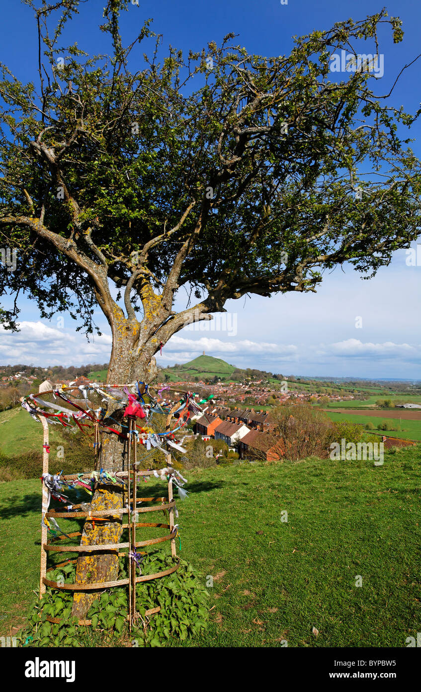 Ritual siteRitual site, holy tree/bush · 1114 yd
 Brownnsgrove Housedemesne walls/gates/railings · 1.3 mi
 Saint Patrick's Catholic Churchchurch/chapel · 1.5 mi
 Site of Doonbally CastleCastle, unclassified · 2.4 mi
 Claddagh Castle (in ruins)Castle, tower house · 3.0 mi
 European ashEuropean ash · 5.5 mi
 Mass RockNamed rock · 7.4 mi
 Knockmoy AbbeyHeritage attraction · 8.8 mi
 KnockmaaWood · 10 mi
 Man-made underground passage in Ballynamona (dunmore By.)Man-made underground passage · 1563 yd
 IndicatedFairy fort / earthen ringfort · 1627 yd
Other information
Photo: Credit not shown in the picture search · Rights wording not checked; contact us if this picture should be removed