What is recorded here
Thirty metres east of the main circle stands a second rath, suggesting a small cluster rather than a lonely marker. The pair sit on an exposed ridge where wind strips the land clean and visibility runs far. They are the kind of place people used when they wanted to be seen, to watch, or to keep others at a distance. The fairies may have taken the names, but the shape and position point to human choice.
In pasture on the top of a prominent ridge with panoramic views c. 200m N of a stream. Hachured on the 1840 and 1916 OS 6-inch maps. A subcircular rath (21.5m E-W; 19m N-S) defined by a low earthen bank (int. H 0.2m; ext. H 0.6-1.15m) and a fosse (Wth 2-2.3m). The bank has been reduced to a scarp (H 0.8m) at SE, S and NW. The fosse is legible as a shallow reed-covered depression. No entrance gap or causeway survives. The interior is dished and slopes gently down to the NNW, with no visible features. There is a rath (CL015-070002-) c. 30m to the ENE.
Compiled by: Mary Tunney and Eve Campbell
Date of upload: 15 August 2023
The monument record does not grant public access. Check the route and ask the landowner before entering private land.
- What survives
- Recorded monument
Places near here
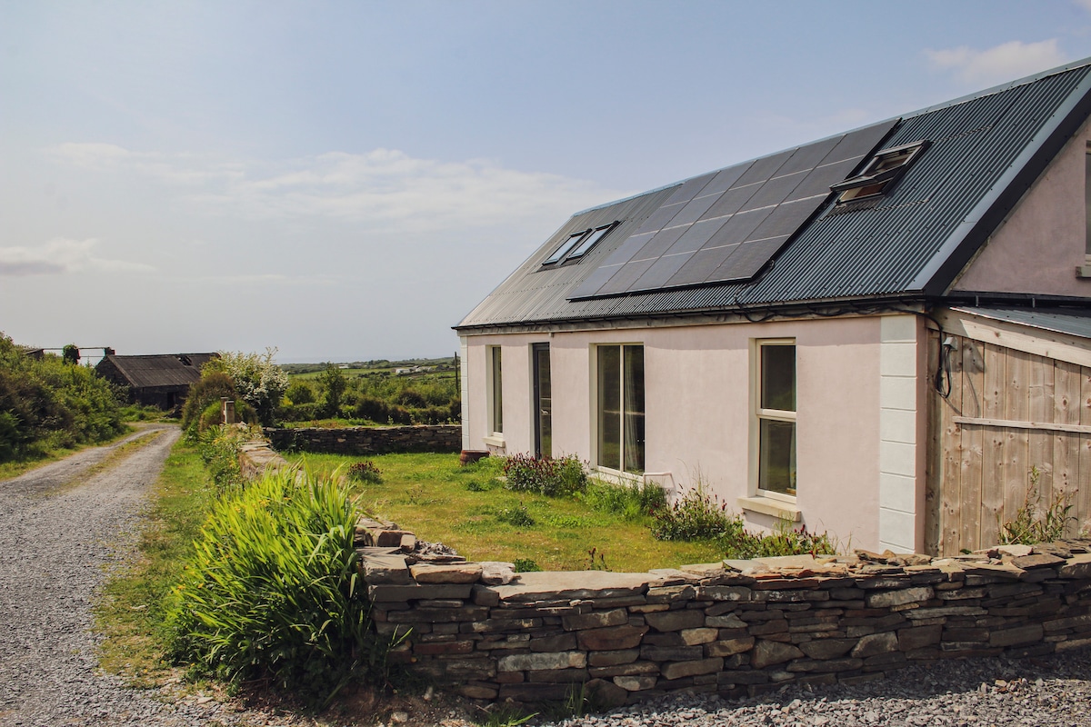 Enclosure in BallydeelyEnclosure · 656 yd
 LissydeelaFairy fort / earthen ringfort · 884 yd
 Kilmanahn GraveyardRuins · 1.1 mi
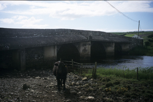 New Bridgebridge · 1.1 mi
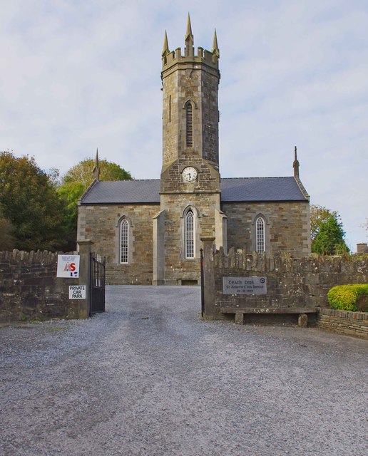 An Teach Ceoilchurch/chapel · 1.1 mi
 Site of Tullamore CastleCastle, unclassified · 1.1 mi
 Famine MemorialMemorial · 1.3 mi
 Glen Castle (in Ruins)Castle, tower house · 1.9 mi
 Lahinch BeachBeach / strand · 2.5 mi
 TullygarvanWood · 3.5 mi
 John P. Holland CentreMuseum · 3.9 mi
 Burren Centre KilfenoraVisitor information · 4.3 mi