What is recorded here
In pasture, on gentle S-facing slope. Circular area (diam. 41m) enclosed by two concentric earthen banks. Inner bank (int. H 0.4m; ext. H 0.8m) has been removed ESE->SSE. External bank (int. H 0.9m; ext. H 0.35m) and intervening fosse (Wth 1.4m) present WSW->ESE. Slightly raised circular area (diam. 8m) at centre of interior. Otherwise interior, which is under pasture, slopes down gently to S.
Compiled by: Denis Power
Date of upload: 26 August 2011
A fairy fort / earthen ringfort in Aughalin is a circular early-medieval defensive or ritual structure, likely dating to between the 5th and 10th centuries AD. Local folklore associates such sites with the faé or supernatural beings, and they were often avoided or revered by rural communities.
This remains an important historical record, but the official description says the monument is no longer visible or has been destroyed. The monument record does not grant public access. Check the route and ask the landowner before entering private land.
- What survives
- No visible remains or recorded as destroyed
Places near here
 Enclosure in AughalinEnclosure · 373 yd
 LaghtpatrickSpring · 511 yd
 Fulacht fia in Gorteen WestFulacht fia · 692 yd
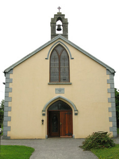 Saint Mary's Catholic Churchchurch/chapel · 1224 yd
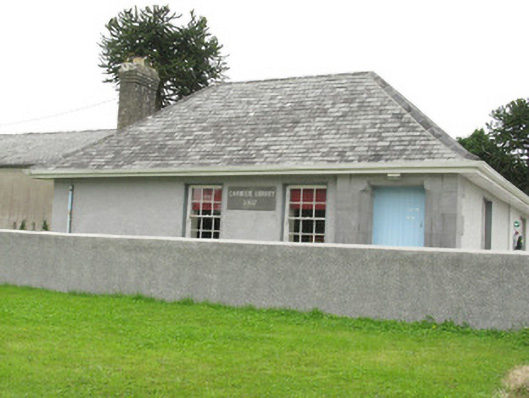 Cloncagh Carnegie Librarylibrary/archive · 1258 yd
 Lady's WellSpring · 1636 yd
 European ashEuropean ash · 1.8 mi
 CastleCastle, tower house · 1.9 mi
 Ballynoe Castle (in ruins)Castle, tower house · 1.9 mi
 Famine stoneMemorial · 4.7 mi
 Flat cemetery in Kiltenan SouthFlat cemetery · 5.9 mi
 Limerick GreenwayWalking route · 8.8 mi