
What is recorded here
In pasture, immediately N of watercourse that forms townland boundary with Cloncagh, a penitential station (LI037-023----) lies 160m to the N. Not marked on OSi historic maps. Two levelled mounds identified in 1959 (NMI topographical files) and communications from Mr. Henry Wheeler described one of the levelled mounds as ‘marked by a considerable amount of burnt stones…a few yards from a stream.’ No surface remains visible on OSi orthophotograph taken between 2005-12 and on Google Earth orthoimages.
Compiled by: Fiona Rooney
Date of upload: 20 April 2021
The monument record does not grant public access. Check the route and ask the landowner before entering private land.
- What survives
- Recorded monument
Places near here
 LaghtpatrickSpring · 208 yd
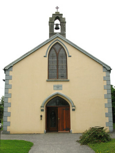 Saint Mary's Catholic Churchchurch/chapel · 616 yd
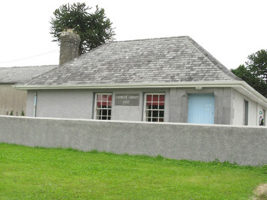 Cloncagh Carnegie Librarylibrary/archive · 642 yd
 Dotted outlineEcclesiastical enclosure · 876 yd
 Grave YardGraveyard · 894 yd
 Lady's WellSpring · 946 yd
 Ballynoe Castle (in ruins)Castle, tower house · 1.8 mi
 European ashEuropean ash · 2.2 mi
 CastleCastle, tower house · 2.3 mi
 Famine stoneMemorial · 4.5 mi
 KnockfeerinaMountain / peak · 5.1 mi
 Flat cemetery in Kiltenan SouthFlat cemetery · 5.9 mi
Other information
Photo: Credit not shown in the picture search · Rights wording not checked; contact us if this picture should be removed