What is recorded here
In centre of early ecclesiastical enclosure (LI037-025003-); on S side of road. Roughly rectangular graveyard (c. 52m E-W; c. 57m N-S) enclosed by recently constructed stone wall topped by hedge. At some time recently (c. 1984) graveyard subject to 'tidy-up', so that all headstones now set in neat rows on concrete plinths. Most headstones date from 19th century but a few are late-18th. two of the gravemarkers are fragments from the church: a punch-dressed block (0.3m x 0.23m x 0.41m) with a triangular protrusion (possibly a human head though no facial features preserved); and a shaped block (0.22m x 0.28m) which might be part of a late-medieval window jamb. In addition to tomb within church there are two gabled burial tombs, one dated 1809. North-of-centre is ruin of parish church of Cloncagh (LI037-025001-).
In centre of early ecclesiastical enclosure (LI037-025003-); on S side of road. Roughly rectangular graveyard (c. 52m E-W; c. 57m N-S) enclosed by recently constructed stone wall topped by hedge. At some time recently (c. 1984) graveyard subject to 'tidy-up', so that all headstones now set in neat rows on concrete plinths. Most headstones date from 19th century but a few are late-18th. two of the gravemarkers are…
From the National Monuments Service (Archaeological Survey of Ireland) record LI037-025002
The monument record does not grant public access. Check the route and ask the landowner before entering private land.
- What survives
- Recorded monument
Places near here
Photo credits
- National Inventory of Architectural Heritage
- Willow, Wikimedia Commons · CC BY 2.5
- Mike Searle, Wikimedia Commons · CC BY-SA 2.0
- Garry Dickinson, Geograph · CC BY-SA 2.0
- Colin Park, Geograph · CC BY-SA 2.0
- Created by Kglavin Modified Aug 2007 by Mike Christie, Wikimedia Commons · CC BY-SA 3.0
- A.-K. D., Wikimedia Commons · CC BY-SA 4.0
Dotted outlineEcclesiastical enclosure · 19 ydLady's WellSpring · 105 yd farm house, house191 ydCloncagh Carnegie LibraryLibrary/archive · 566 ydSaint Mary's Catholic ChurchChurch/chapel · 593 ydfarm house, house1081 ydEuropean ash2.7 miLissamota CastleCastle · 3.9 miCastle MahonCastle · 4.0 miKnockfeerinaMountain / peak · 4.9 miArdagh FortArchaeological place · 6.8 miSaint Ite's WellSpring · 8.1 mi
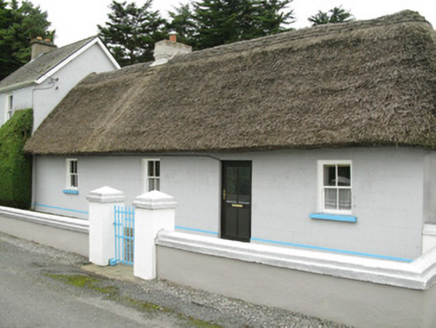 farm house, house191 yd
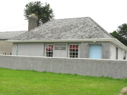 Cloncagh Carnegie LibraryLibrary/archive · 566 yd
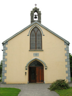 Saint Mary's Catholic ChurchChurch/chapel · 593 yd
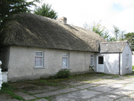 farm house, house1081 yd
 European ash2.7 mi
 Lissamota CastleCastle · 3.9 mi
 Castle MahonCastle · 4.0 mi
 KnockfeerinaMountain / peak · 4.9 mi
 Ardagh FortArchaeological place · 6.8 mi
 Saint Ite's WellSpring · 8.1 mi
More archaeology and monuments in County Limerick · All of County Limerick
What do you know about this place?