What is recorded here
Mortons and culeen on the Galway ridge, thirty metres across, still hold their shape beneath grass. The fort is not a vague legend; it is a made place where people lived, breathed and left the earth compressed. What is missing is not the fort but the voice that named it, the family that walked it and the time when its gap first caught the wind.
On a ridge in undulating grassland. Subcircular rath (E-W 30m, N-S 28m), in fair condition, defined by a bank and external fosse; the latter survives from S through W to NW. A gap (Wth 3m) at SE could be original.
The above description is derived from the published 'Archaeological Inventory of County Galway Vol. II - North Galway'. Compiled by Olive Alcock, Kathy de hÓra and Paul Gosling (Dublin: Stationery Office, 1999).
Date of upload: 05 August 2010
The monument record does not grant public access. Check the route and ask the landowner before entering private land.
- What survives
- Recorded monument
Places near here
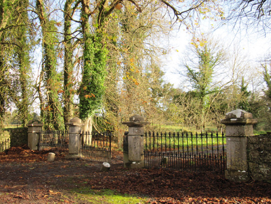 Liskelly Housedemesne walls/gates/railings · 393 yd
 IndicatedFairy fort / earthen ringfort · 774 yd
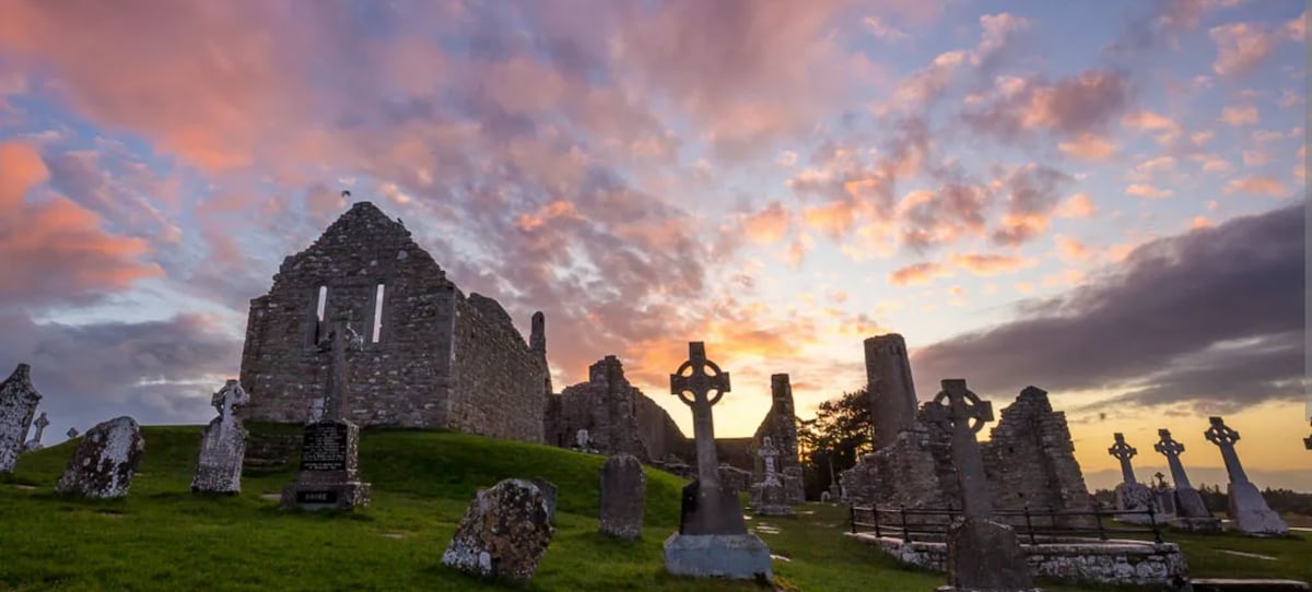 Site of Kilcommadan ChurchChurch · 1077 yd
 The bloody HollowHeritage attraction · 1210 yd
 Battle of AughrimMajor battlefield · 1559 yd
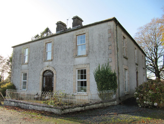 Cartron Househouse · 1.4 mi
 Ballagh Castle (in Ruins)Castle, unclassified · 1.4 mi
 Urraghry HillMountain / peak · 1.4 mi
 Battle of Aughrim Interpretative CentreMuseum · 1.5 mi
 Castle (Site of)Castle, Anglo-Norman masonry castle · 1.6 mi
 Oak WoodWood · 2.4 mi
 West WoodWood · 2.9 mi