What is recorded here
A substantial earthen bank and deep fosse once enclosed a circular space thirty-eight metres wide in Ardleny, though a laneway now skirts the southern edge and ploughing has levelled much of the western rim. The original entrance has vanished beneath soil and traffic, leaving no visible gap for human eyes to find. Yet the fort still holds its shape where the land remembers it, a buried chamber waiting for someone clever enough to stop looking for doors and start listening for the difference in the earth.
Raised circular area (int. diam. c. 38m) enclosed by a substantial earthen bank and a wide, deep fosse identifiable only from NE-E-SE. From SSE-S-W a laneway skirts the site. The outer face of the bank has been modified here and is accompanied by an external trench. Bank has been levelled from W-NW-N and from SE-SSE. Original entrance not recognisable.
The above description is derived from the published 'Archaeological Inventory of County Cavan' (Dublin: Stationery Office, 1995). In certain instances the entries have been revised and updated in the light of recent research.
Date of upload/revision: 22 December 2008
The monument record does not grant public access. Check the route and ask the landowner before entering private land.
- What survives
- Recorded monument
Places near here
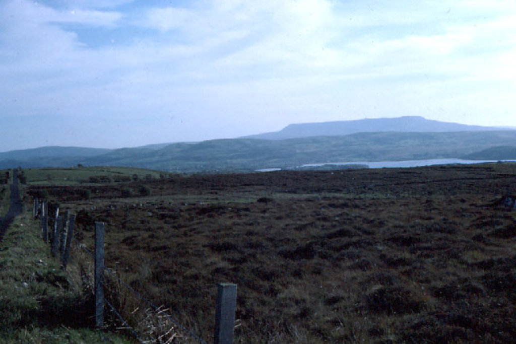 IndicatedFairy fort / earthen ringfort · 1692 yd
 DrumbrucklisMountain / peak · 1.2 mi
 Cross in KillCross · 1.4 mi
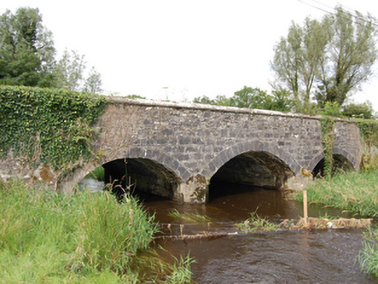 Derrin Bridgebridge · 1.6 mi
 Aghakilmore LowerMountain / peak · 1.8 mi
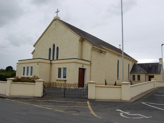 St Mary’s Roman Catholic Churchchurch/chapel · 2.0 mi
 Deer ParkWood · 2.1 mi
 Giant's GraveArchaeological place · 3.3 mi
 BroomhillWood · 3.3 mi
 IdicatedCastle, unclassified · 3.7 mi
 Crane IslandIslet · 3.9 mi
 Gull IslandIslet · 4.0 mi