What is recorded here
Marianne and I walked to Ardlaman at dawn. We stood inside the oval, breathing warmth from stones that had taken the night's heat. I touched the scarped edge and felt a tremor run through my fingers. Marianne laughed, but her eyes were bright. The fort had not hidden from us. It had waited for us to arrive without fear.
In pasture, on gentle E-facing slope in area of outcropping limestone. Oval area (27m N-S; 31m E-W) defined by scarped edge (H 0.35m; Wth 3m) which is best preserved NNW->ESE. Dump of earth and stones (H c. 1m; 8m N-S; 24m E-W) masks line of enclosing bank SE->SW. Western half of interior slopes down sharply to E towards centre, before levelling off. Field boundary, shown on 1923 OS 6-inch map as skirting enclosure on W, has been removed.
Compiled by: Denis Power
Date of upload: 26 August 2011
This remains an important historical record, but the official description says the monument is no longer visible or has been destroyed. The monument record does not grant public access. Check the route and ask the landowner before entering private land.
- What survives
- No visible remains or recorded as destroyed
Places near here
 Mound in RanahanMound · 724 yd
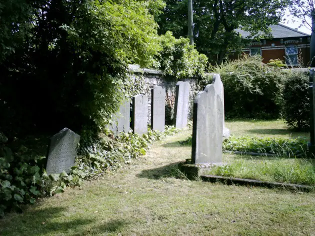 Burial in BallyanBurial · 872 yd
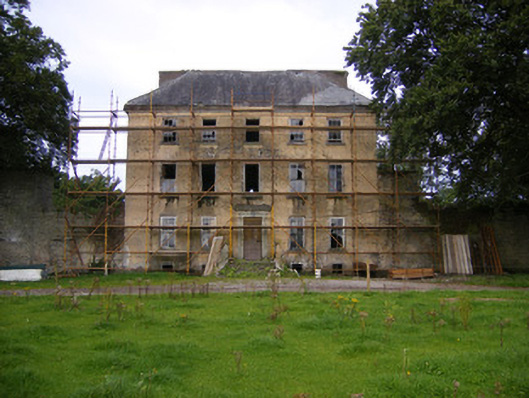 Riddlestown Parkcountry house · 1227 yd
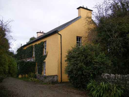 creamerycreamery · 1457 yd
 Bawn in Lisnacullia (connello Lower By.)Bawn · 1.3 mi
 Bawn in StonevilleBawn · 1.8 mi
 TobernablahySpring · 2.2 mi
 St. Kieran's WellSpring · 2.3 mi
 Askeaton CastleHeritage attraction · 3.8 mi
 European ashEuropean ash · 4.5 mi
 Flat cemetery in CroaghFlat cemetery · 4.8 mi
 Holly IslandIslet · 4.9 mi