What is recorded here
Fairy fort, Ardglass: a circular earthen ring about 30m across, with a sunken fosse and a possible underground passage inside, has stood in north Cork since before human memory. People may have lived there, hidden there, or simply avoided it after dark; the earth keeps either possibility without complaining.
Depicted as hachured circular enclosure (diam. c. 30m) on 1842 OS 6-inch map; as circular area enclosed by fosse on 1905 and 1936 OS 6-inch maps. Circular slightly raised area (30.9m E-W; 30.1m N-S) defined by fosse. Earthen material dumped into fosse, may be from levelled bank. Possible Man-made underground passage (CO007-139---) in interior.
The above description is derived from the published 'Archaeological Inventory of County Cork. Volume 4: North Cork' (Dublin: Stationery Office, 2000). In certain instances the entries have been revised and updated in the light of recent research.
Date of upload/revision: 14 January 2009
The monument record does not grant public access. Check the route and ask the landowner before entering private land.
- What survives
- Recorded monument
Places near here
 Man-made underground passage in Ardglass (orrery and Kilmore By., Shandrum Par.)Man-made underground passage · 1 yd
 Fulacht FiadhFulacht fia · 356 yd
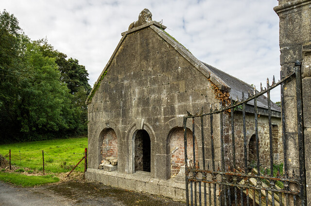 Milltown Castledemesne walls/gates/railings · 1.2 mi
 Cloch an Othara HouseHouse, vernacular house · 1.2 mi
 CastleCastle, motte · 1.9 mi
 Castle (Site of)Castle, unclassified · 2.0 mi
 Windmill HillMountain / peak · 2.5 mi
 Ballyhoura WayWalking route · 3.2 mi
 Holy Cross CemeteryGraveyard · 3.8 mi
 Battle of LiscarrollMajor battlefield · 4.6 mi
 Churchtown TrailsVisitor information · 4.6 mi
 Rogan's Rock CovertWood · 6.2 mi