
What is recorded here
Rectangular 2-storey structure at end of lane to S of road. Front elevation (S) of four bays; plate glass sash windows, some ground-floor windows barred, 1st-floor windows slightly smaller. Off-centre door to W hidden behind modern porch. Hipped roof of thatch covered with corrugated iron in last six months; chimney off-centre to W.
The above description is derived from the published 'Archaeological Inventory of County Cork. Volume 4: North Cork' (Dublin: Stationery Office, 2000). In certain instances the entries have been revised and updated in the light of recent research.
Date of upload/revision: 14 January 2009
The monument record does not grant public access. Check the route and ask the landowner before entering private land.
- What survives
- Recorded monument
Places near here
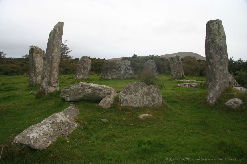 BarrowBarrow, ring-barrow · 394 yd
 LissareeFairy fort / earthen ringfort · 445 yd
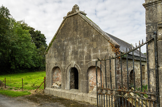 Milltown Castledemesne walls/gates/railings · 1067 yd
 IndicatedHouse, vernacular house · 1077 yd
 TumulusCastle, motte · 1.1 mi
 CastleCastle, motte · 2.1 mi
 Holy Cross CemeteryGraveyard · 2.9 mi
 Windmill HillMountain / peak · 3.7 mi
 Ballyhoura WayWalking route · 4.2 mi
 CarrigeenMountain / peak · 5.4 mi
 Saint Derivla's WellSpring · 5.5 mi
 Battle of LiscarrollMajor battlefield · 5.8 mi
Other information
Photo: Credit not shown in the picture search · Rights wording not checked; contact us if this picture should be removed