What is recorded here
No visible trace remains of the Ardglass ringfort because local residents levelled the earth in the late 1970s or early 1980s. A May 1977 aerial photograph still caught its circular bank as a faint soil mark before the pasture erased it. The lost ridge may have marked a home, a boundary or a forgotten gathering place, but the land itself has forgotten the shape.
In pasture, on SSE-facing slope. Depicted as hachured subrectangular enclosure (c. 20m NE-SW; c. 15m NW-SE) on 1842 OS 6-inch map; as hachured circular enclosure (diam. c. 20m) on 1905 OS 6-inch map; as hachured circular raised area (diam. c. 20m) on 1936 OS 6-inch map. Levelled; no visible surface trace. According to local information, circular in shape and levelled late 1970s/early 1980s. Circular enclosure visible in aerial photograph (GSIAP, R611; dated May 1977) as soilmark of bank. Levelled ringfort (CO007-031---) in adjoining field to NNW.
The above description is derived from the published 'Archaeological Inventory of County Cork. Volume 4: North Cork' (Dublin: Stationery Office, 2000). In certain instances the entries have been revised and updated in the light of recent research.
Date of upload/revision: 14 January 2009
The monument record does not grant public access. Check the route and ask the landowner before entering private land.
- What survives
- Recorded monument
Places near here
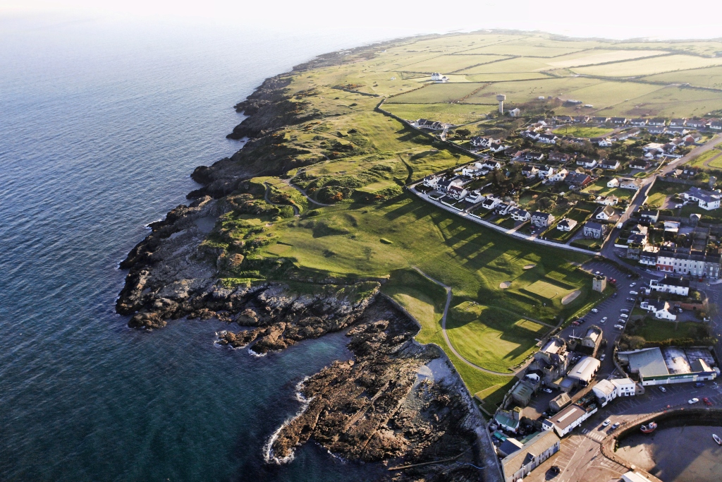 Ring-ditch in Ardglass (orrery and Kilmore By., Shandrum Par.)Ring-ditch · 534 yd
 Enclosure in Ardglass (orrery and Kilmore By., Shandrum Par.)Enclosure · 576 yd
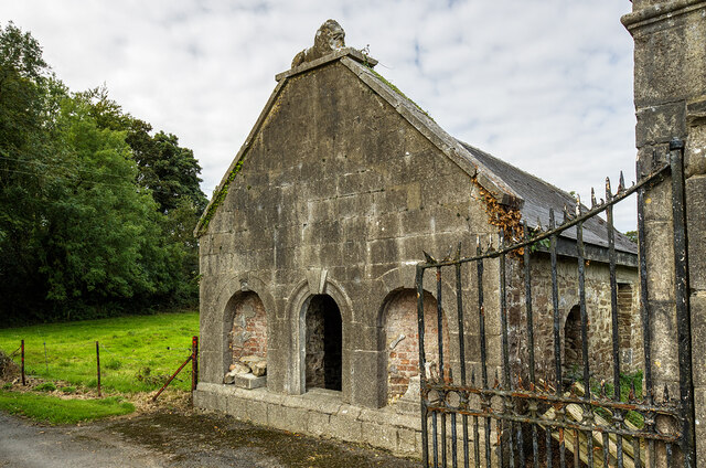 Milltown Castledemesne walls/gates/railings · 1.6 mi
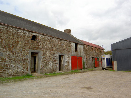 Cooliney Houseoutbuilding · 1.6 mi
 Castle (Site of)Castle, unclassified · 1.7 mi
 CastleCastle, motte · 2.0 mi
 Windmill HillMountain / peak · 2.1 mi
 Ballyhoura WayWalking route · 3.0 mi
 Holy Cross CemeteryGraveyard · 4.1 mi
 Battle of LiscarrollMajor battlefield · 4.2 mi
 Churchtown TrailsVisitor information · 4.3 mi
 Rogan's Rock CovertWood · 6.1 mi