What is recorded here
Ardcoohig holds a broad earthen ring on a north-facing slope, its bank rising nearly three metres around a circular pasture. The interior contains a faint ridge and a raised northern floor, shaping the ground as if for human life rather than fairy trickery. That much is visible without invention. The rest belongs to imagination, not fact.
In pasture, below crest of E-W ridge, on N-facing slope. Circular area (64m N-S; 61.5m E-W) enclosed by earthen bank (H 2.8m) SW->SSE. Inner bank face low on N side, where interior raised to compensate for hillslope. Faint ridge crosses interior on N-S axis.
The above description is derived from the published 'Archaeological Inventory of County Cork. Volume 1: West Cork' (Dublin: Stationery Office, 1992). In certain instances the entries have been revised and updated in the light of recent research.
Date of upload/revision: 14 January 2009
The monument record does not grant public access. Check the route and ask the landowner before entering private land.
- What survives
- Recorded monument
Places near here
 Hut site in KnockanemeeleenHut site · 592 yd
 BarrowBarrow, ring-barrow · 675 yd
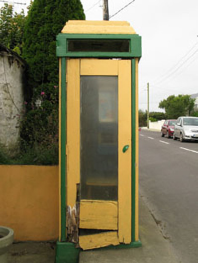 telephone boxtelephone box · 1094 yd
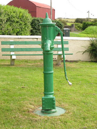 water pumpwater pump · 1129 yd
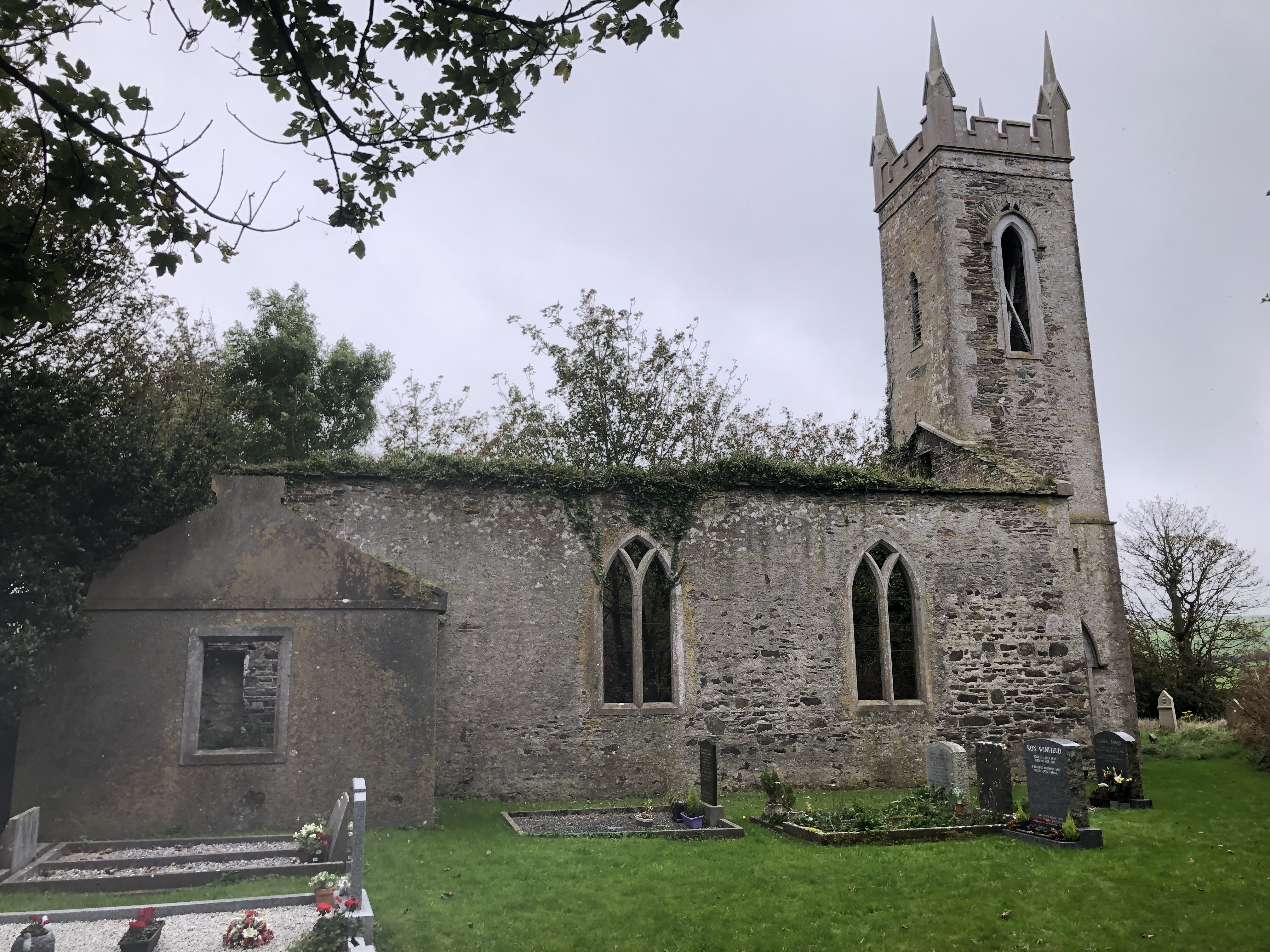 Lislee Court (Site of)Castle, unclassified · 1210 yd
 HDS walk Coolim CliffsHeritage attraction · 1696 yd
 Blind StrandBeach / strand · 1.1 mi
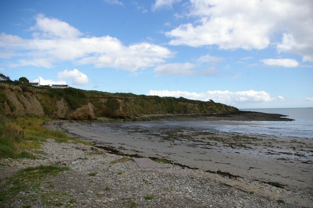 Broad StrandBeach / strand · 1.3 mi
 Courtmacsherry Bay ViewViewpoint · 1.5 mi
 Barry's PointHeadland · 1.7 mi
 War MemorialMemorial · 1.8 mi
 Timoleague ViewViewpoint · 1.9 mi