What is recorded here
Located towards the top of an E-facing slope with rock outcrop. It is depicted as a circular embanked enclosure (ext. diam. c. 35-40m) only on the 1836 ed. of the OS 6-inch map where it is described in gothic lettering as a ‘Fort’. This is an overgrown area (diam. c. 60m E-W) with no evidence of an enclosing feature unless it is incorporated into a field bank W-NE.
Compiled by: Michael Moore
Date of upload: 17 August, 2016
The monument record does not grant public access. Check the route and ask the landowner before entering private land.
- What survives
- Recorded monument
Places near here
 Cross in ArdaghCross · 456 yd
 Chruch in RuinsChurch · 465 yd
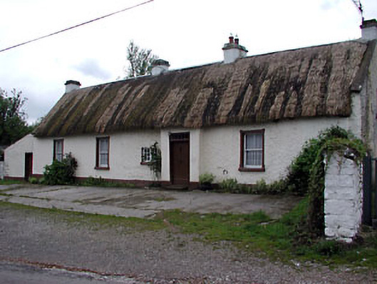 farm housefarm house · 948 yd
 Tree IslandWood · 1295 yd
 Stone CrossCross · 1659 yd
 BarleyhillMountain / peak · 1.4 mi
 Cloghreagh Castle in RuinsCastle, unclassified · 1.8 mi
 Lagan castleCastle, tower house · 2.7 mi
 CabraMountain / peak · 2.8 mi
 Natural Play AreaMemorial · 2.8 mi
 Dún a Rí Forest ParkForest · 2.8 mi
 In Memory of Our DadMemorial · 2.8 mi